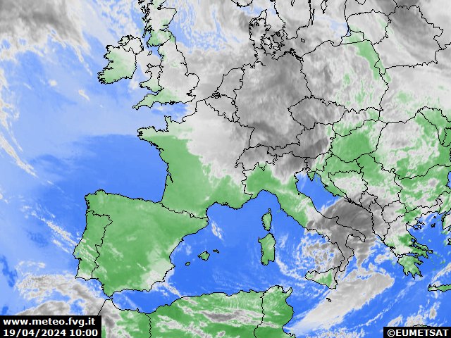
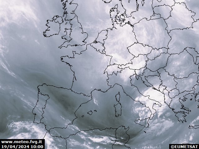
infrared Europe


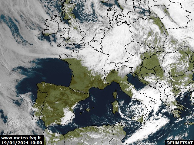
visible Europe


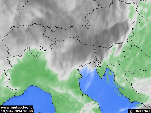
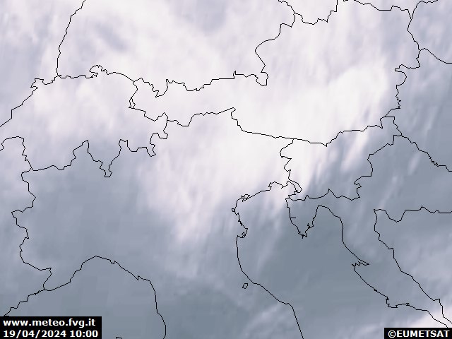
infrared Northern Italy


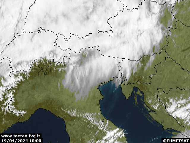
visible Northern Italy


water vapor Europe
water vapor Northern Italy
information
INFRARED IMAGE – it represents an estimate of the temperature of the top of the cloud. The lower clouds, and therefore warmer, are represented in lighter colors; the higher ones, and therefore colder, in darker colors.
IMAGE IN THE VISIBLE CHANNEL – it represents the intensity of solar radiation in the wavelengths visible to the human eye reflected by the clouds toward the space. In this case the brightest clouds are those more consistent.
IMAGE IN THE WATER VAPOR CHANNEL – it is an estimate of the water vapor content in the atmospheric column. The brightest areas are those with higher values and vice versa.
