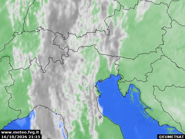
general situation
Over the weekend, the region will remain under the influence of high pressure. It will lie between a low-pressure system moving southwards towards the Balkans and a trough approaching from the west, which will, however, affect only north-western Italy.
forecasts
| 4 | 12 | 20 | |
|---|---|---|---|
| diurnal evolution |
 |
|
|
Friday 16 October
release: 15-10-2026 12:13 CEST
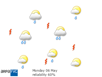
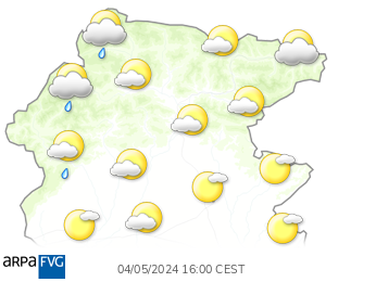
Conditions will remain settled. Skies will range from partly cloudy to variable due to high cloud, with a greater chance of bright spells around the middle of the day. Low cloud cannot be ruled out in the Tarvisiano overnight and into the morning.
| average temp. at 1000 m (°C) | 14 |
| average temp. at 2000 m (°C) | 11 |
| prob. of widespread precipitations (%) | <10 |
| thunderstorms probability (%) | <10 |
| thermal zero height (m) | 3800 |
| snowfall level (m) | - |
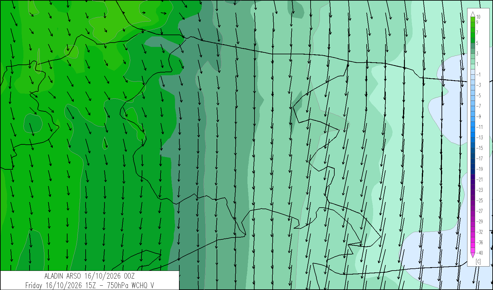
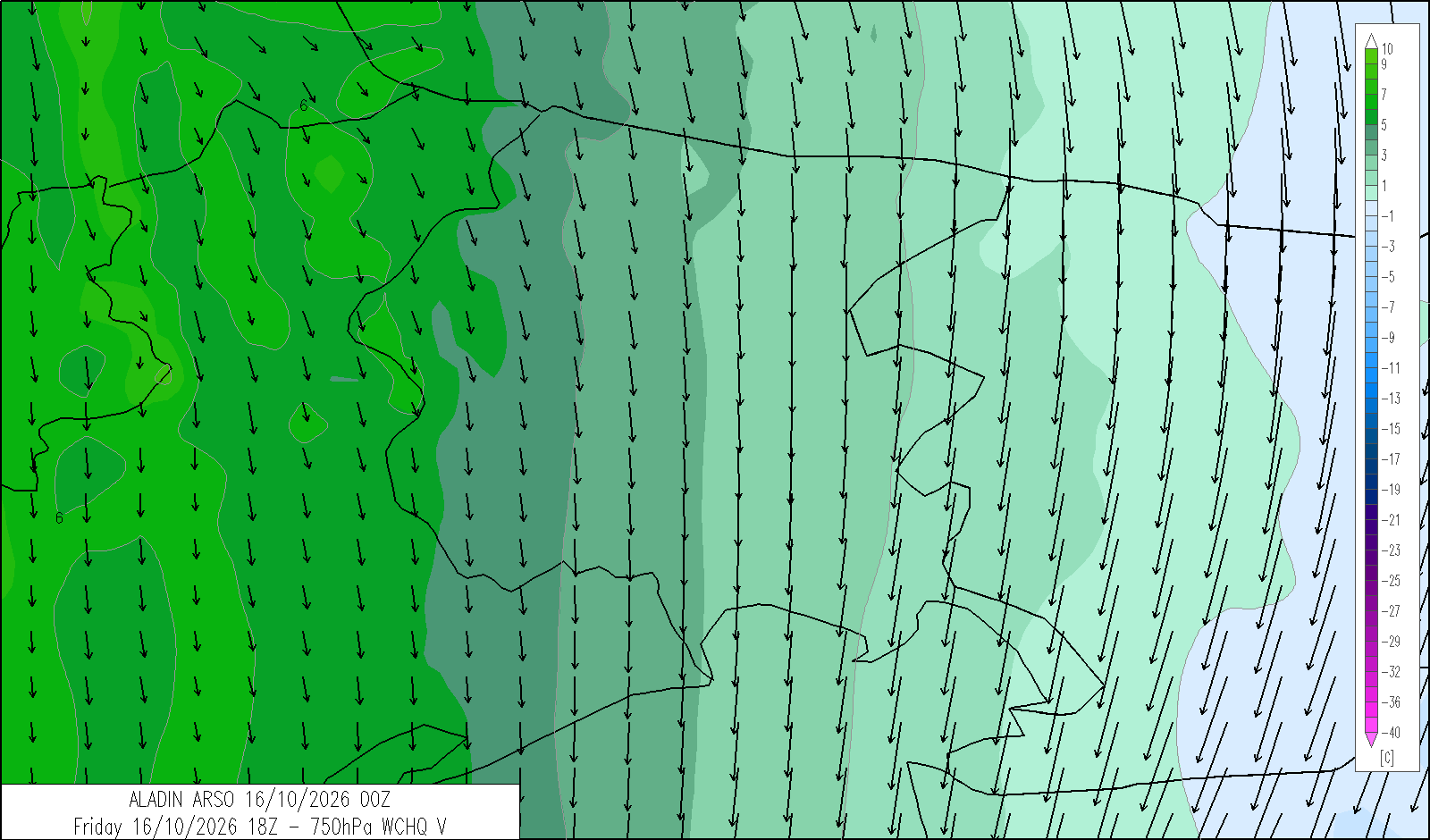
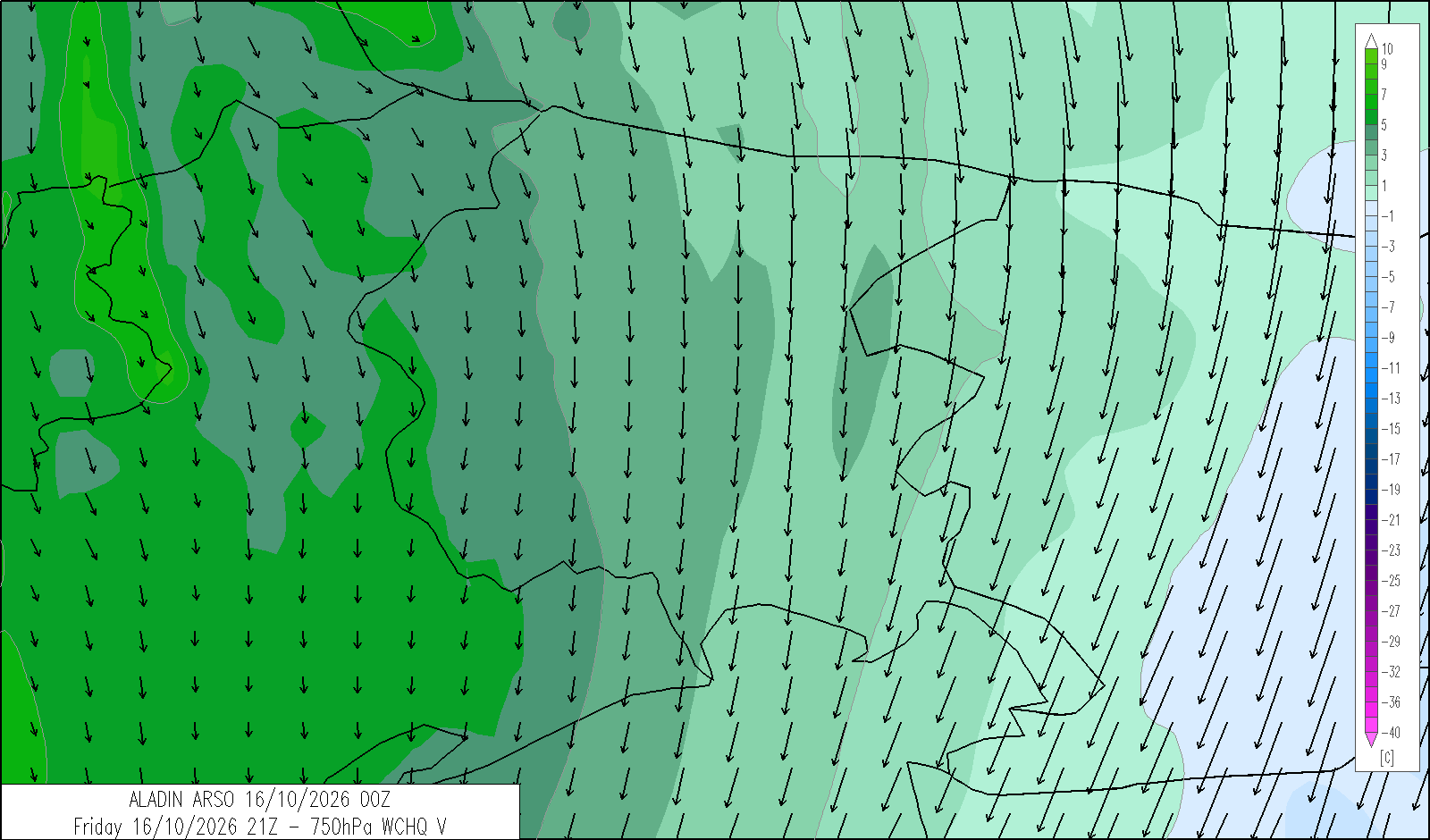
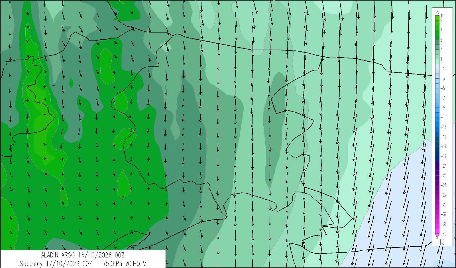
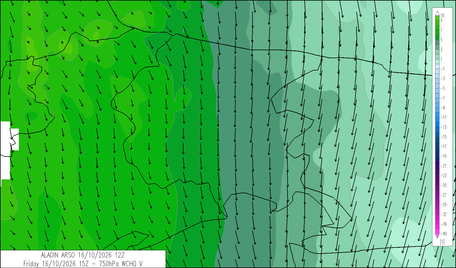
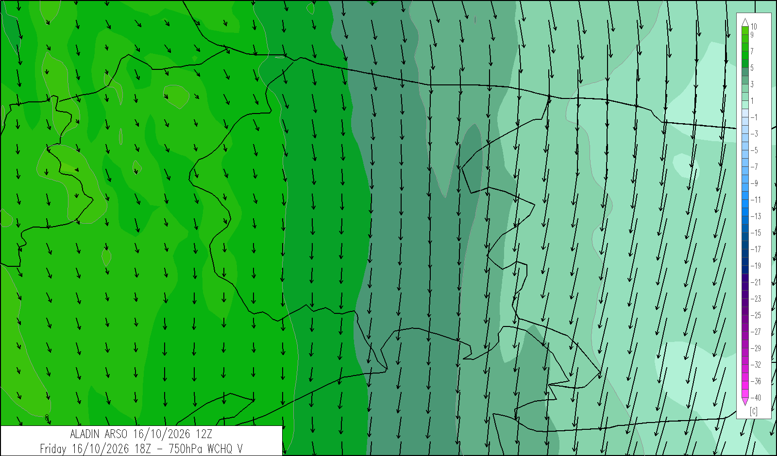
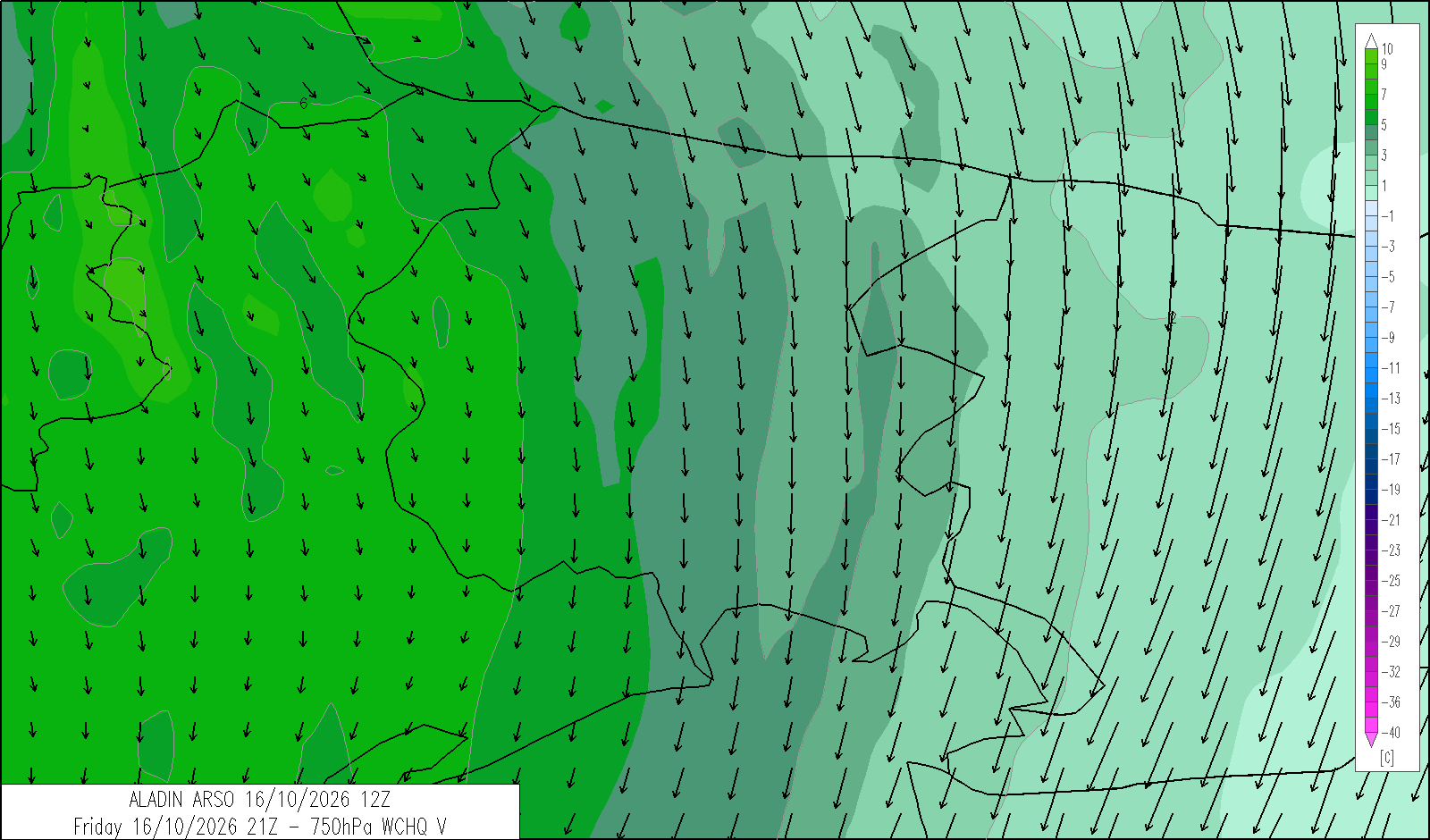
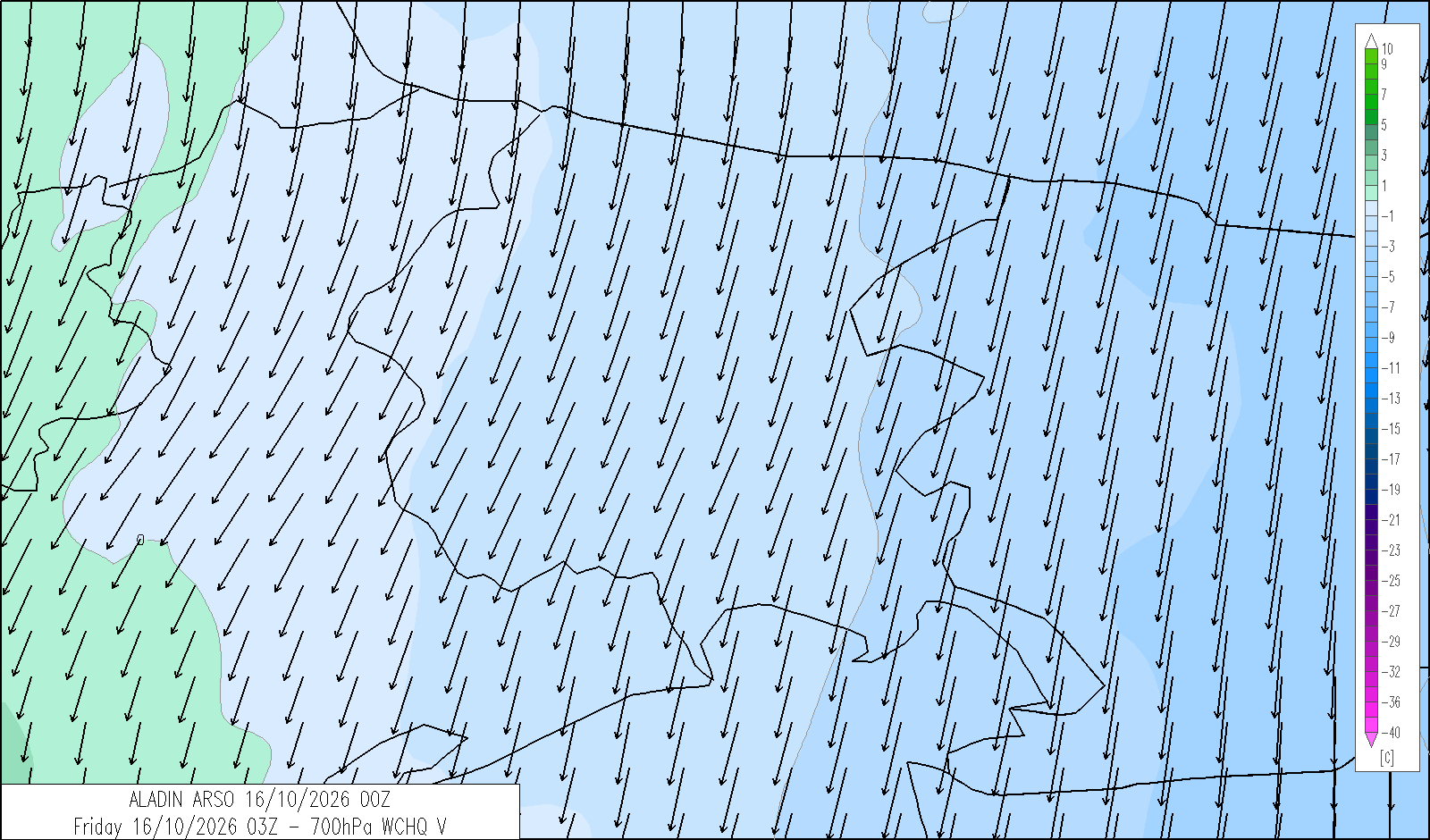
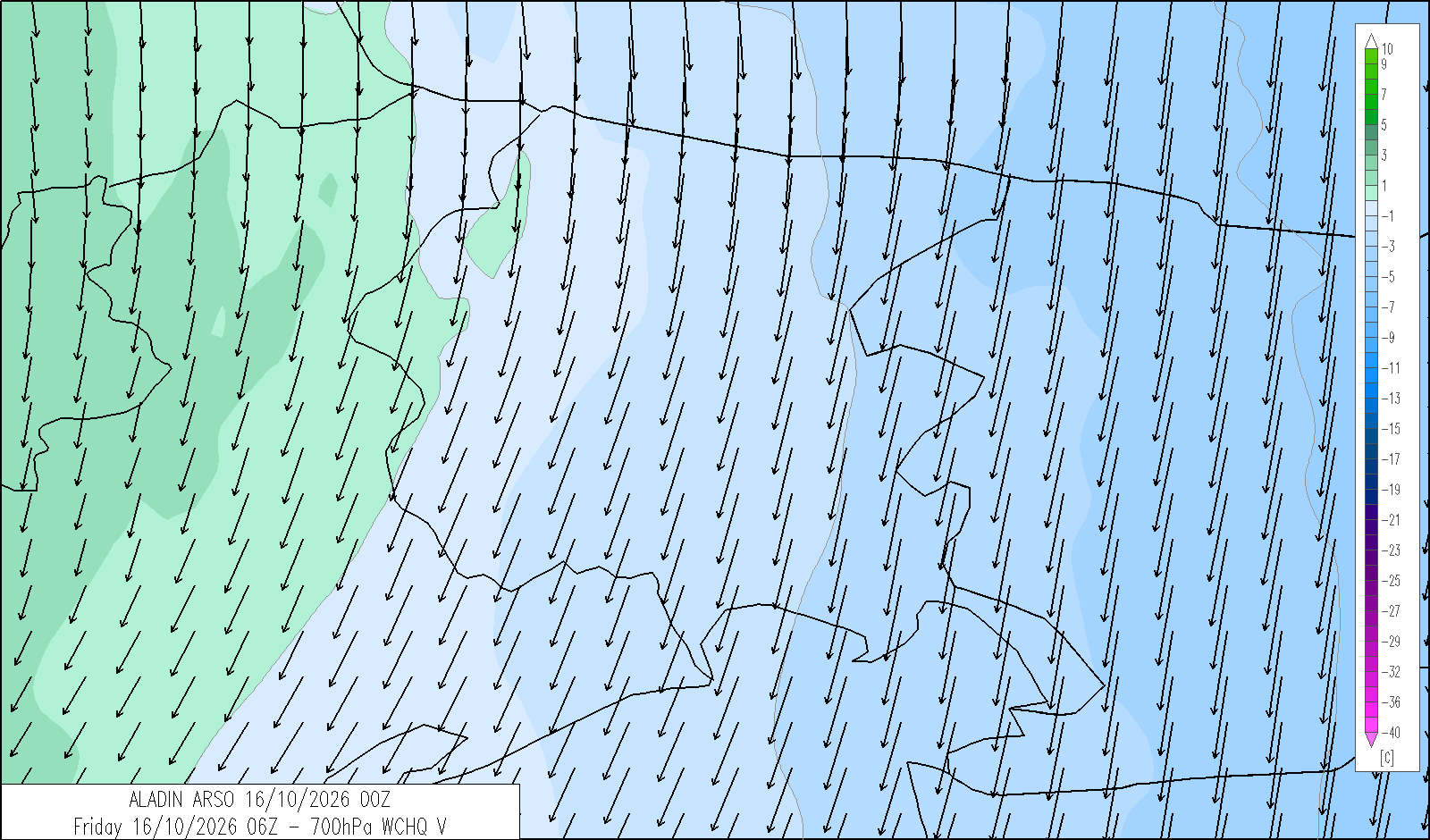
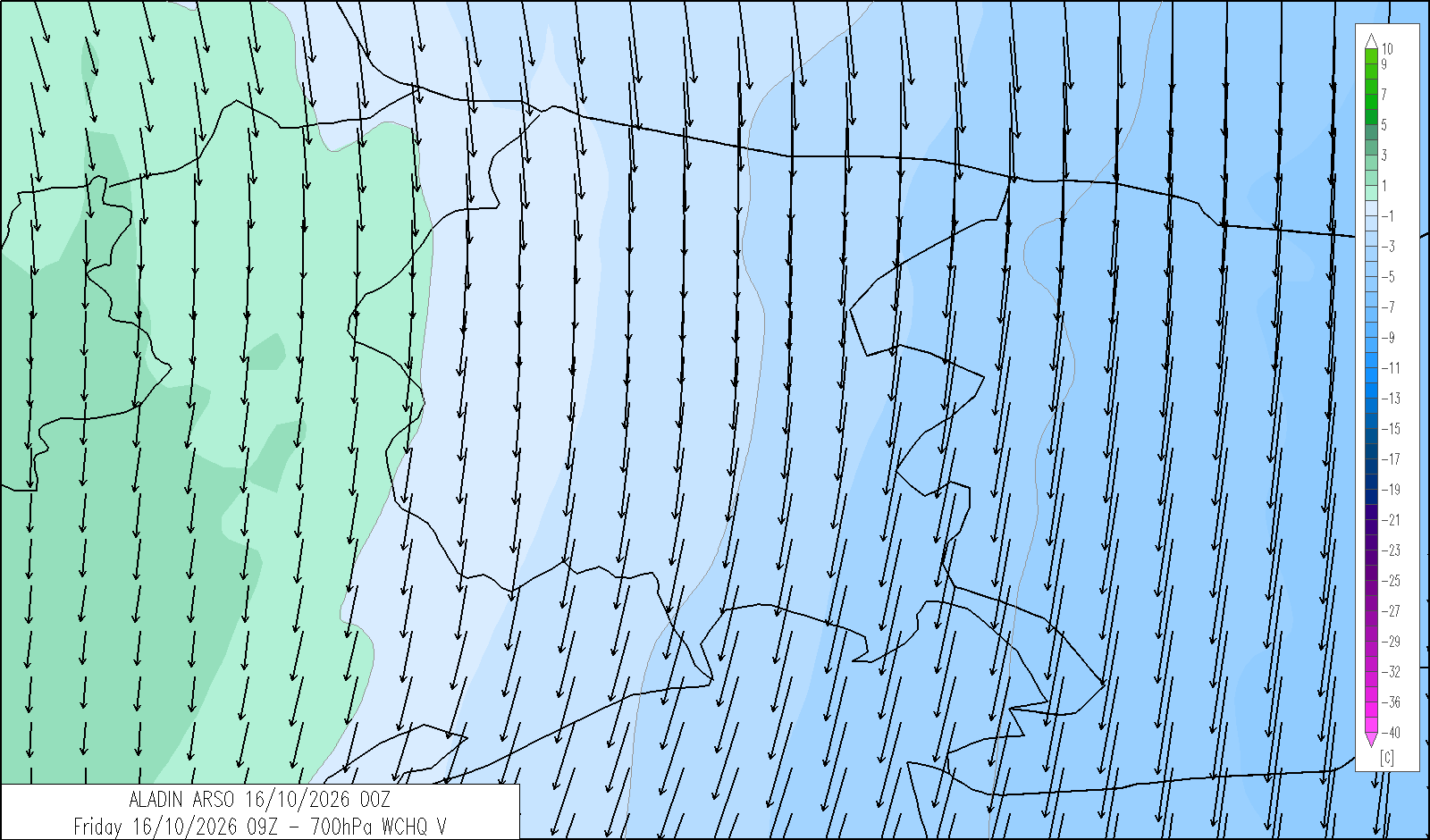
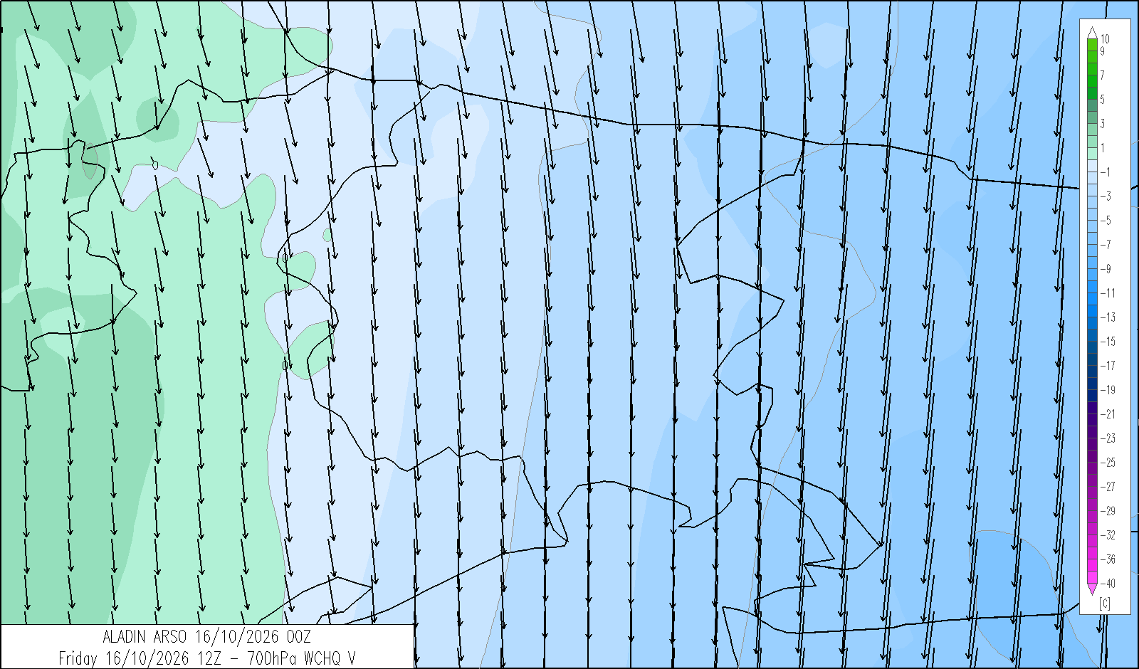
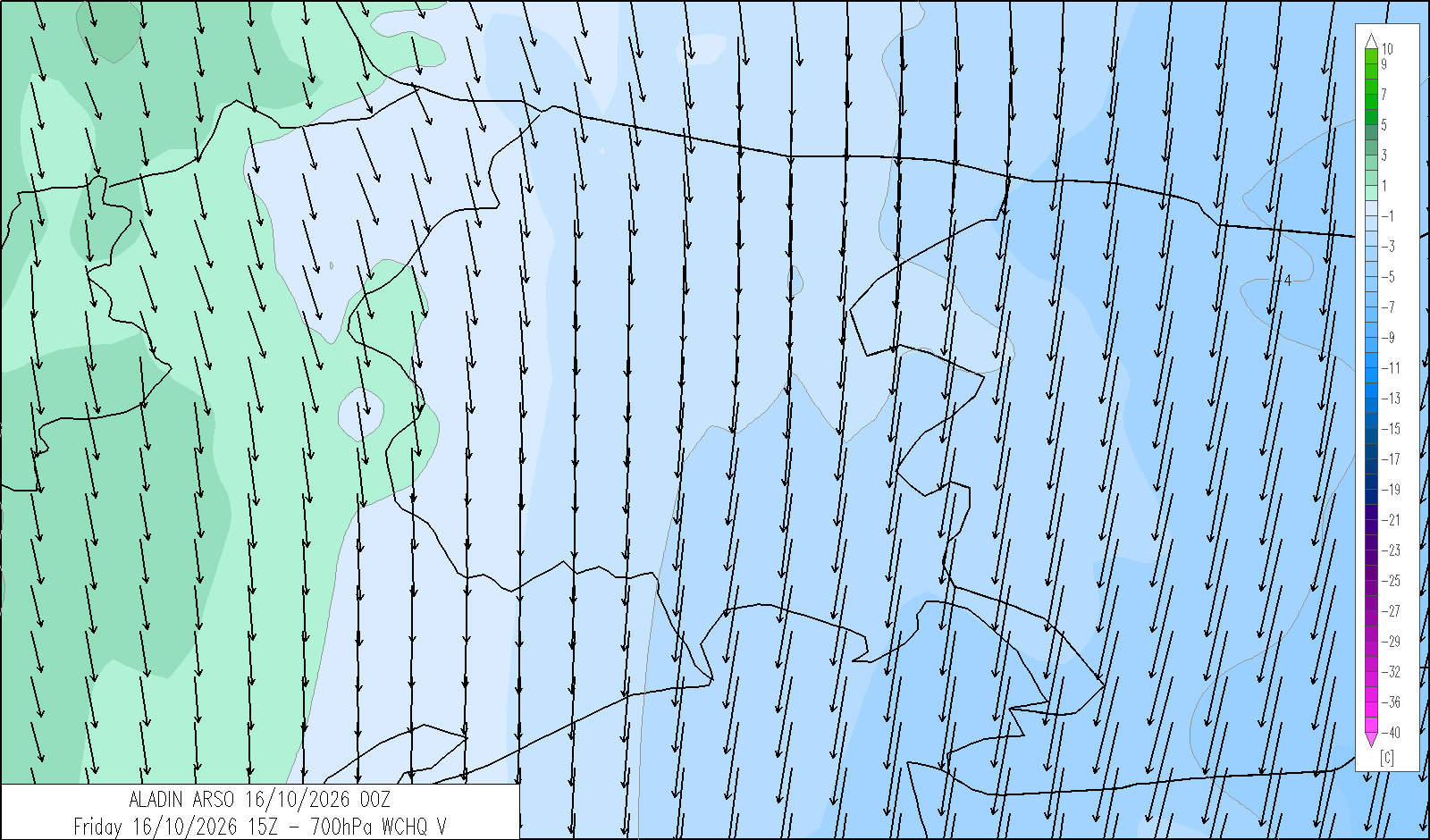
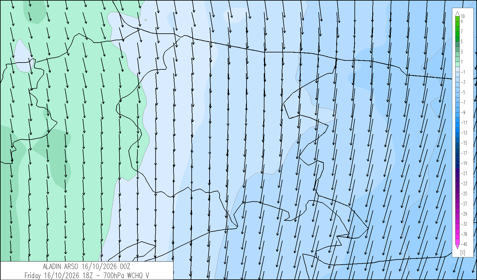
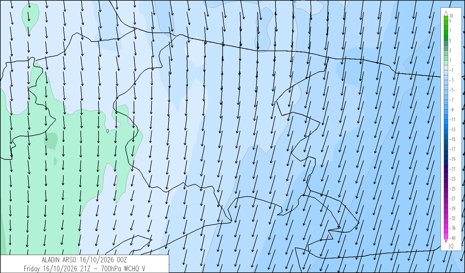
| mean wind speed & direction at 3000 m (m/s) | N 5-10 |
| 4 | 12 | 20 | |
|---|---|---|---|
| diurnal evolution |
 |
|
 |
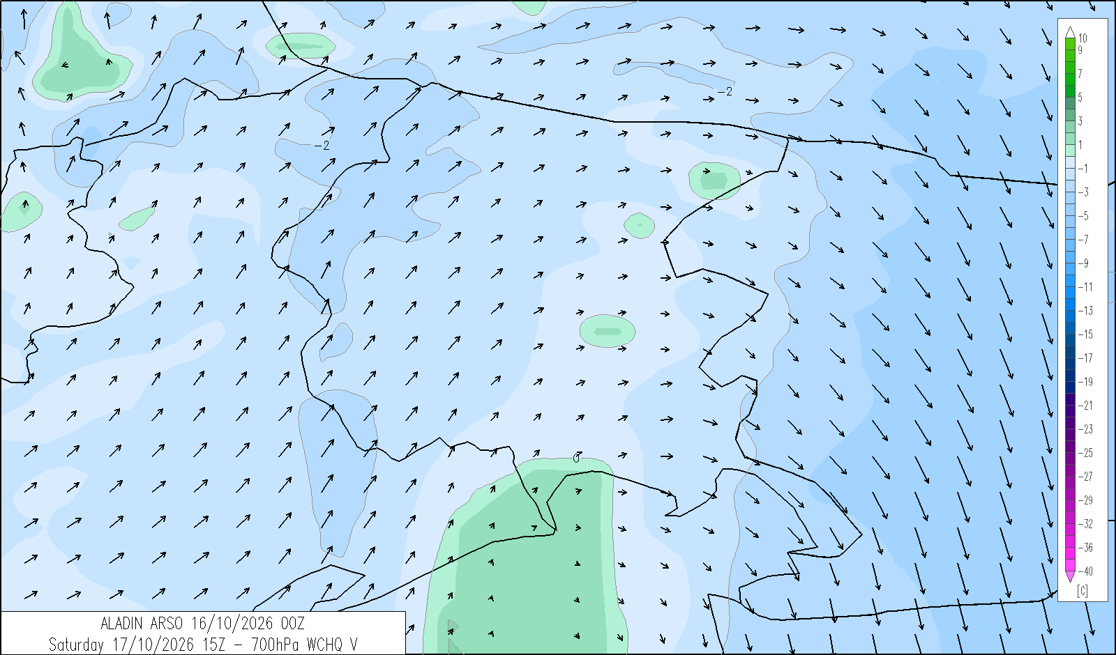
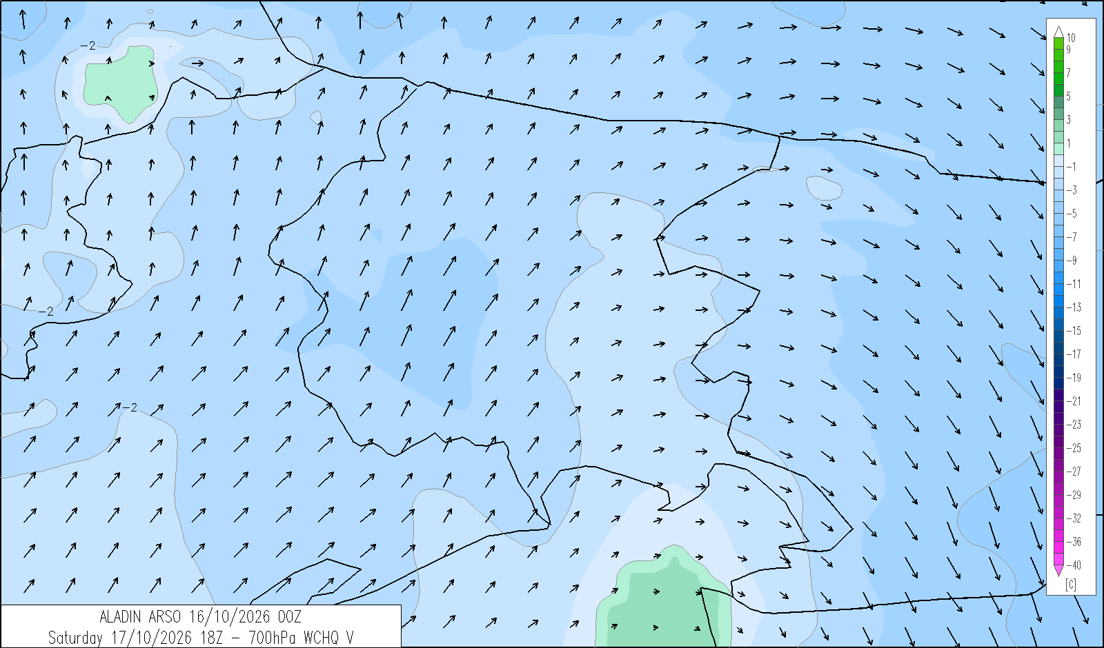
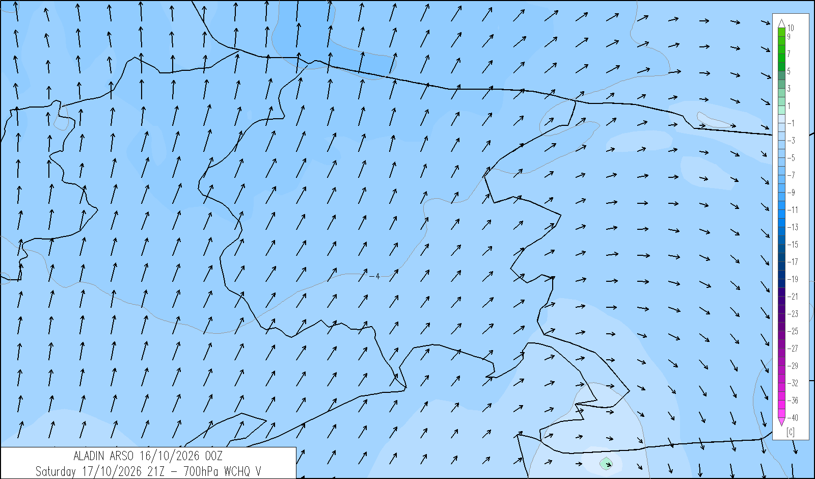
Saturday 17 October
release: 16-10-2026 12:21 CEST
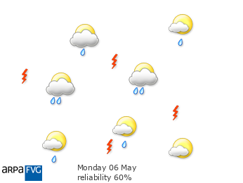
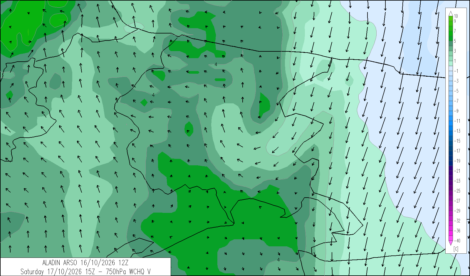
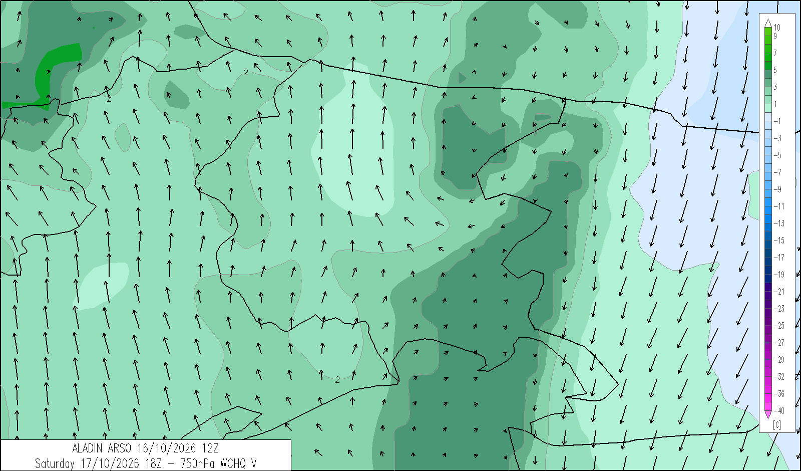
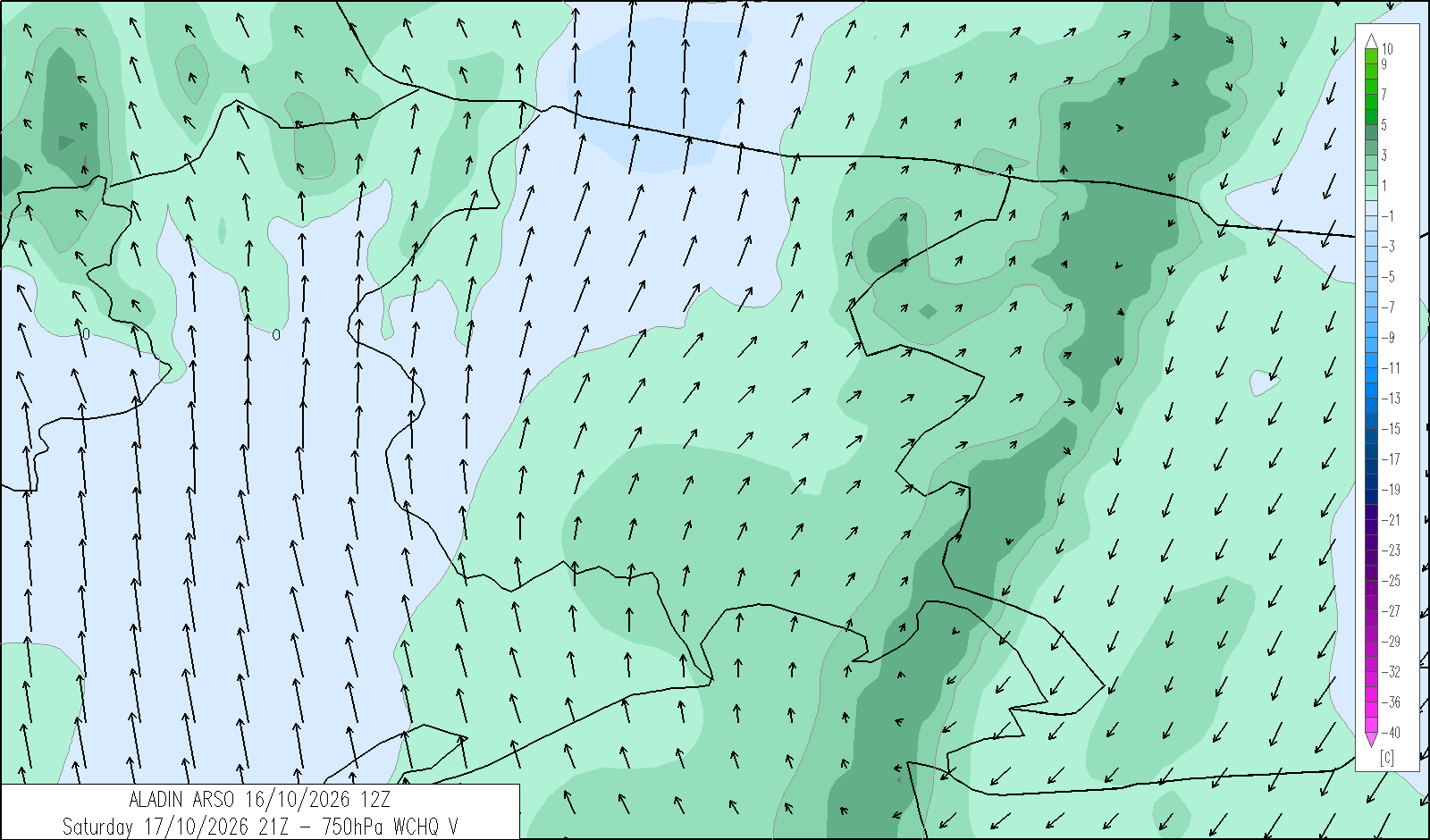
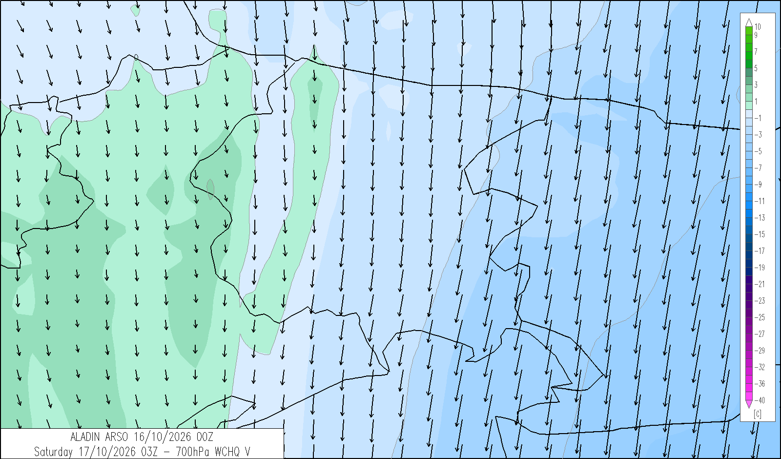
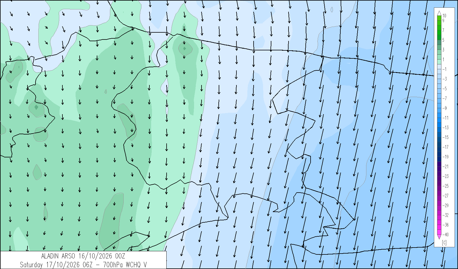
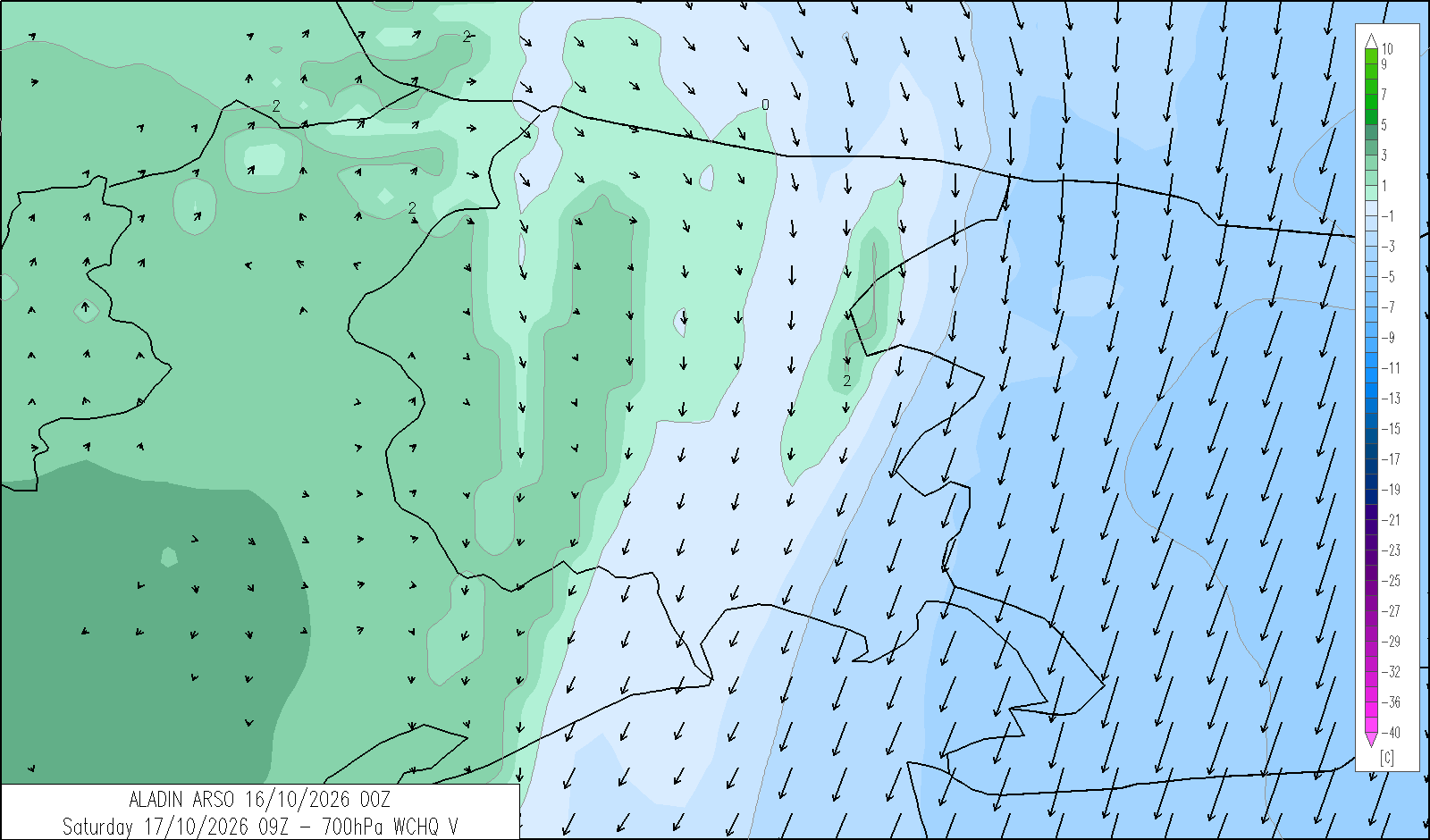
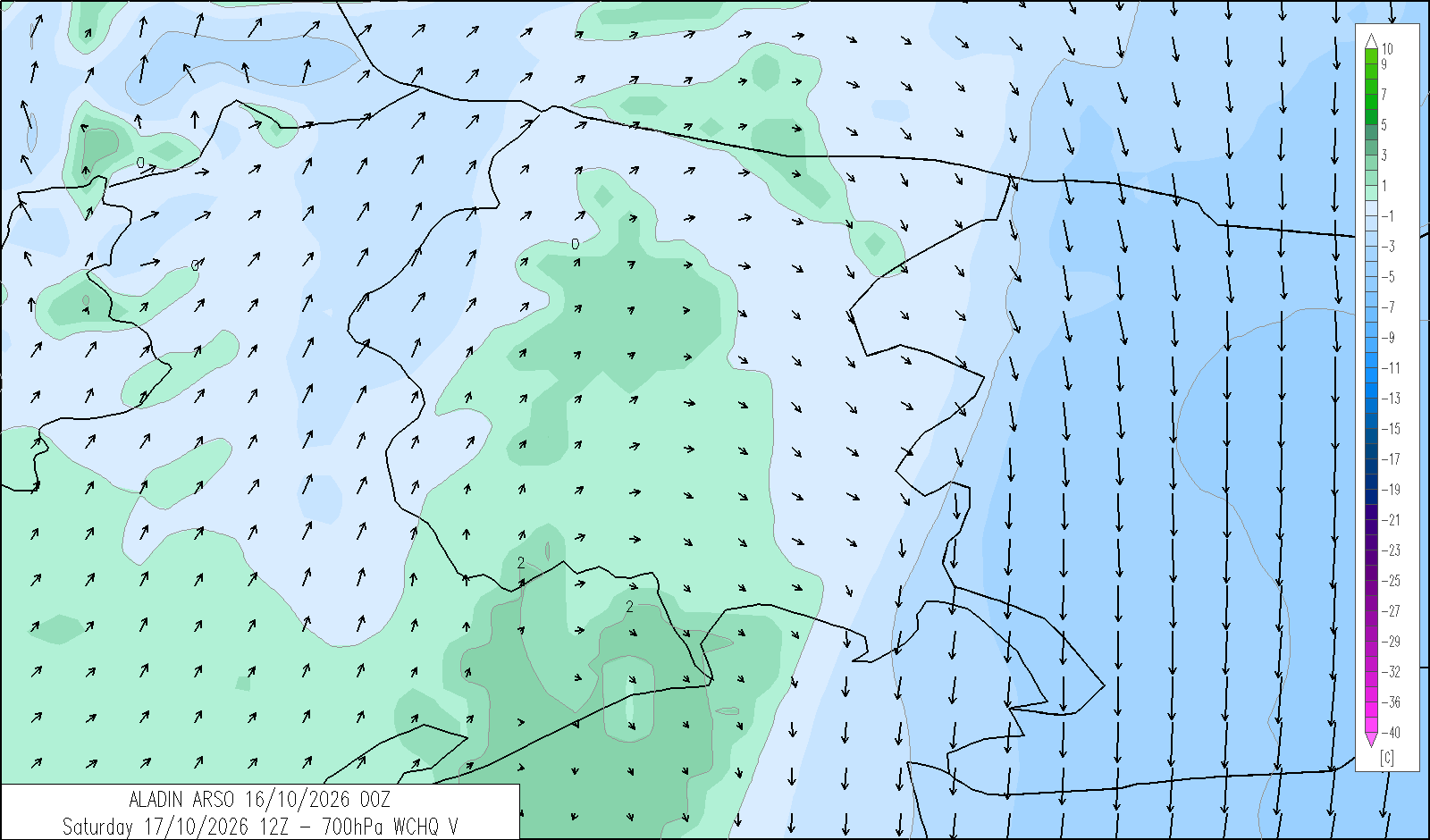
Skies will be predominantly cloudy or variable in the morning. From the afternoon, brighter spells will develop from the west, with skies becoming clear or partly cloudy. Low cloud cannot be entirely ruled out in the Tarvisiano overnight and into the morning.
| average temp. at 1000 m (°C) | 13 |
| average temp. at 2000 m (°C) | 9 |
| prob. of widespread precipitations (%) | <10 |
| thunderstorms probability (%) | <10 |
| thermal zero height (m) | 3300 |
| snowfall level (m) | - |
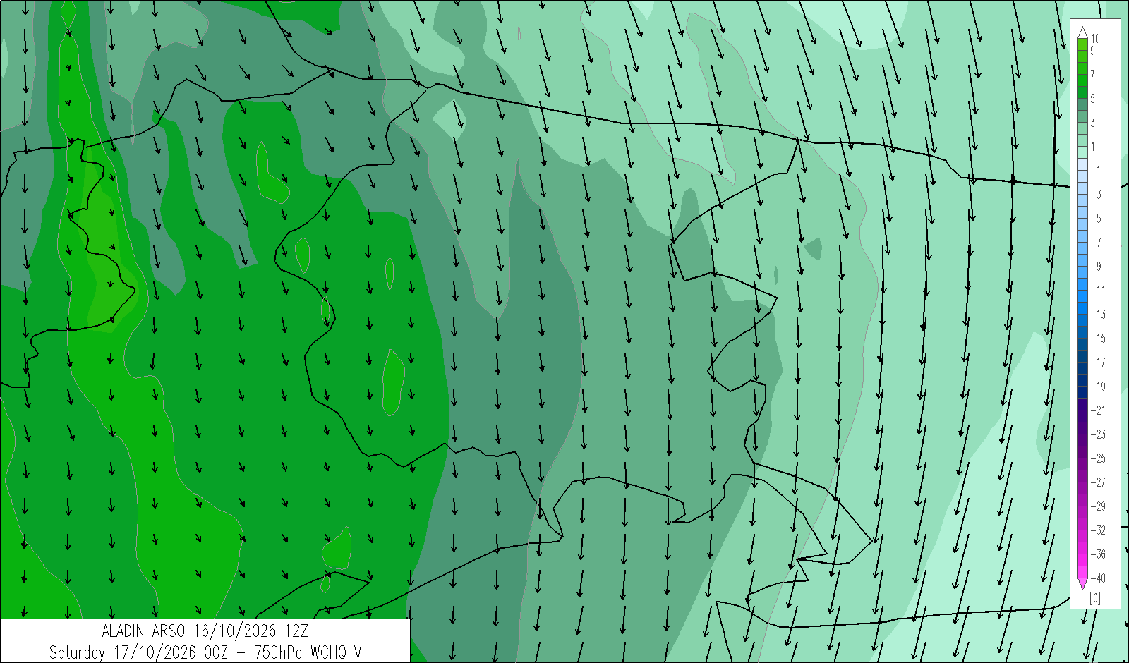
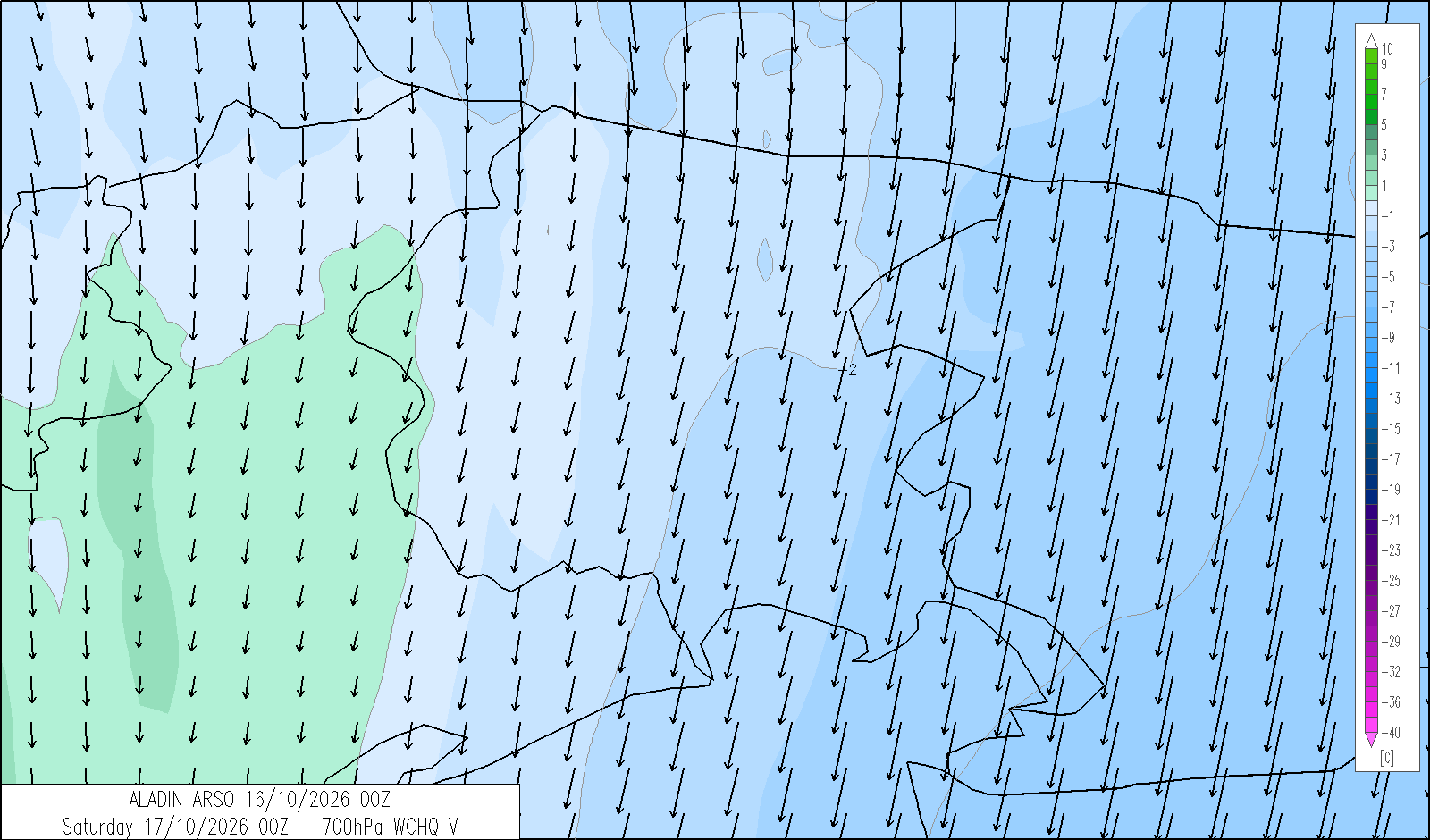
| mean wind speed & direction at 3000 m (m/s) | Var. 5-10 |
| 4 | 12 | 20 | |
|---|---|---|---|
| diurnal evolution |
|
|
|
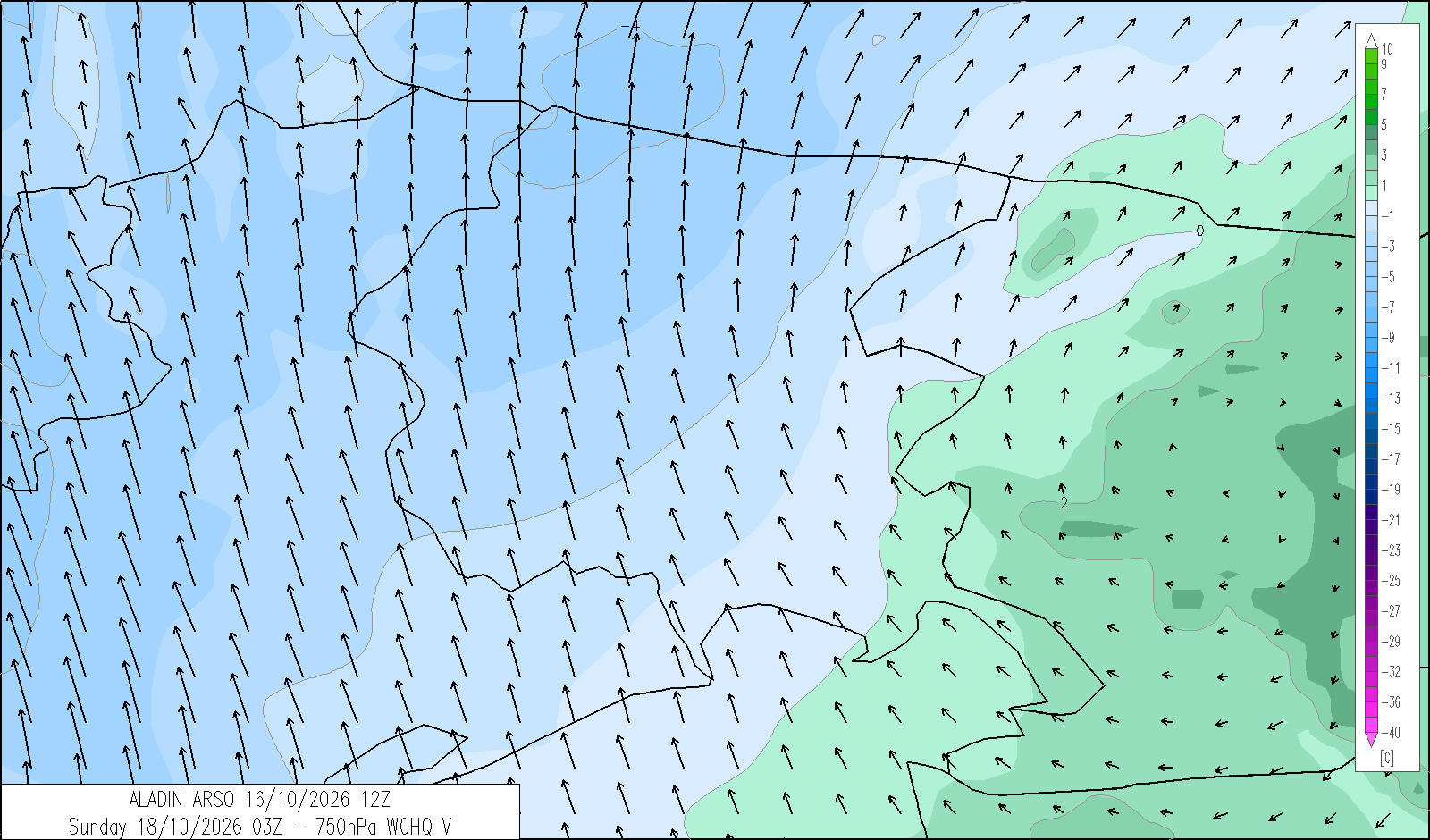
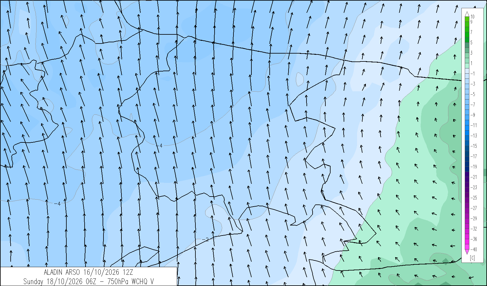
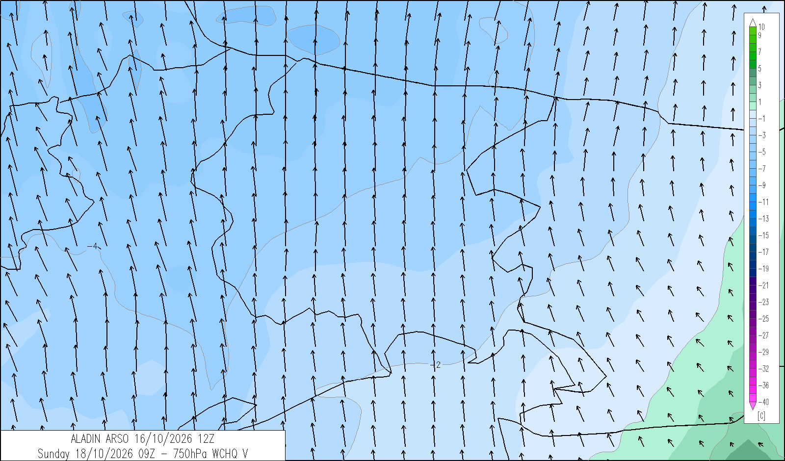
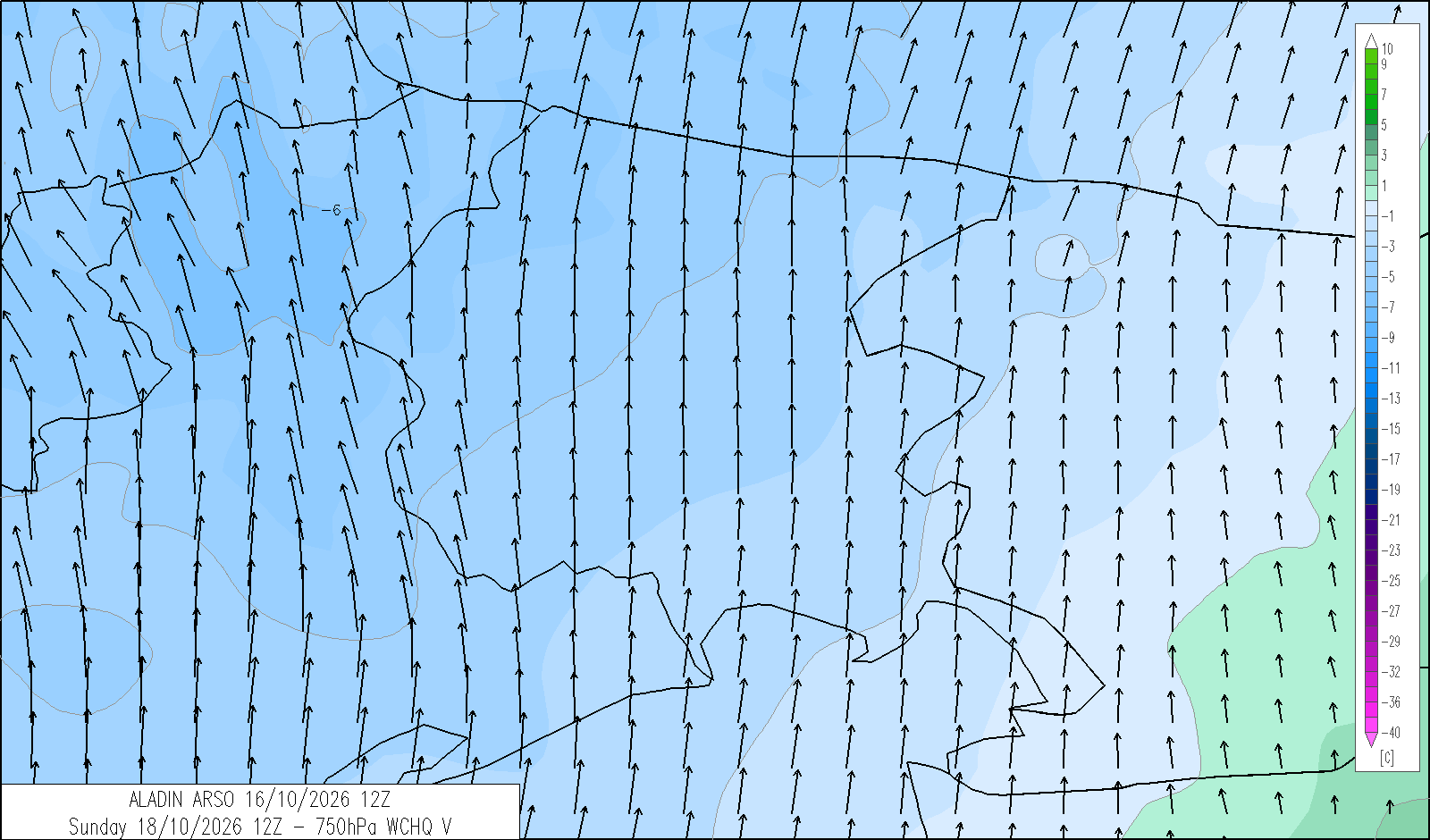
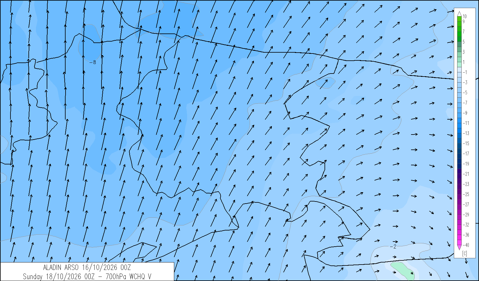
Sunday 18 October
release: 16-10-2026 12:21 CEST
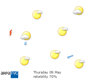
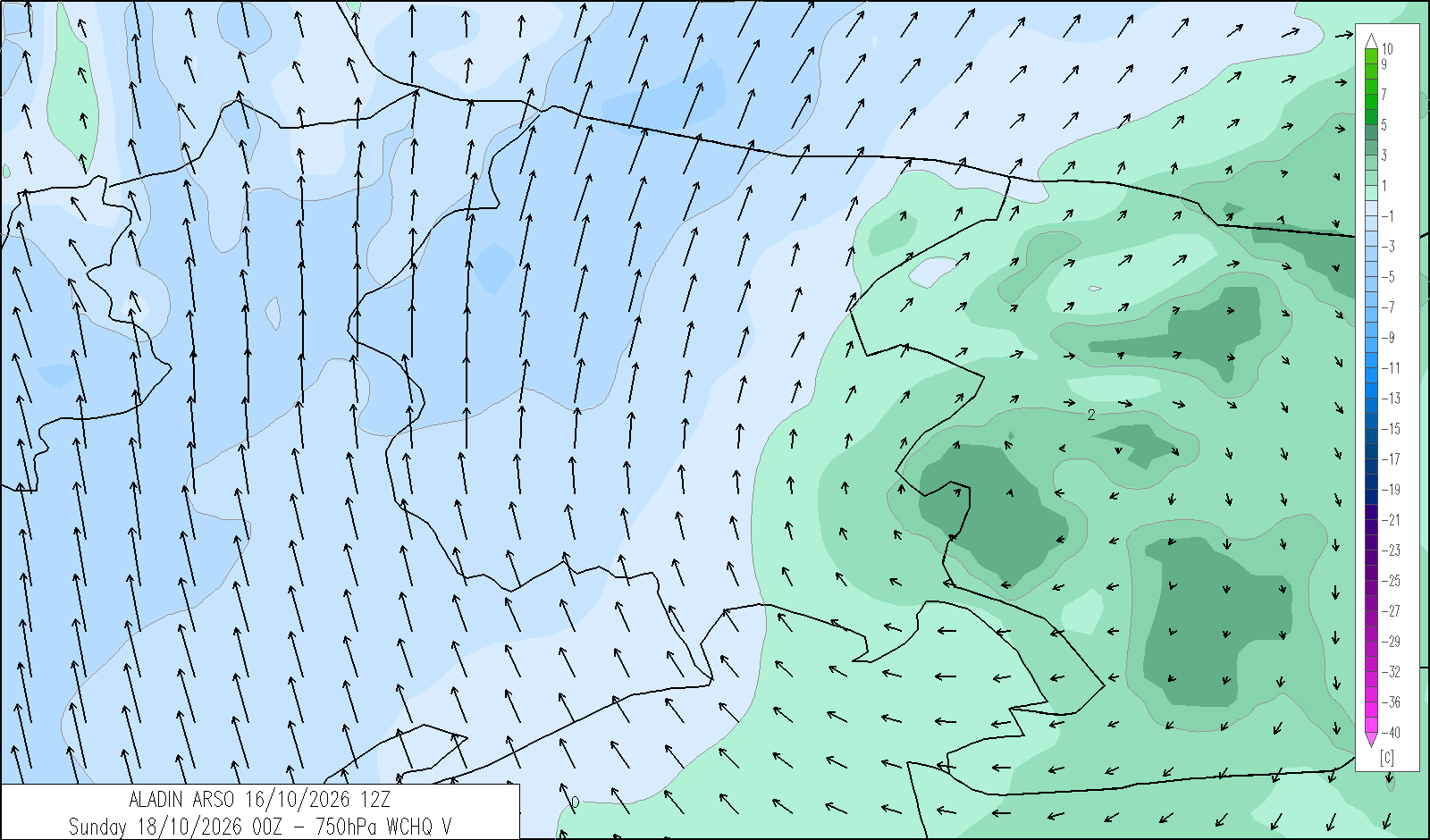
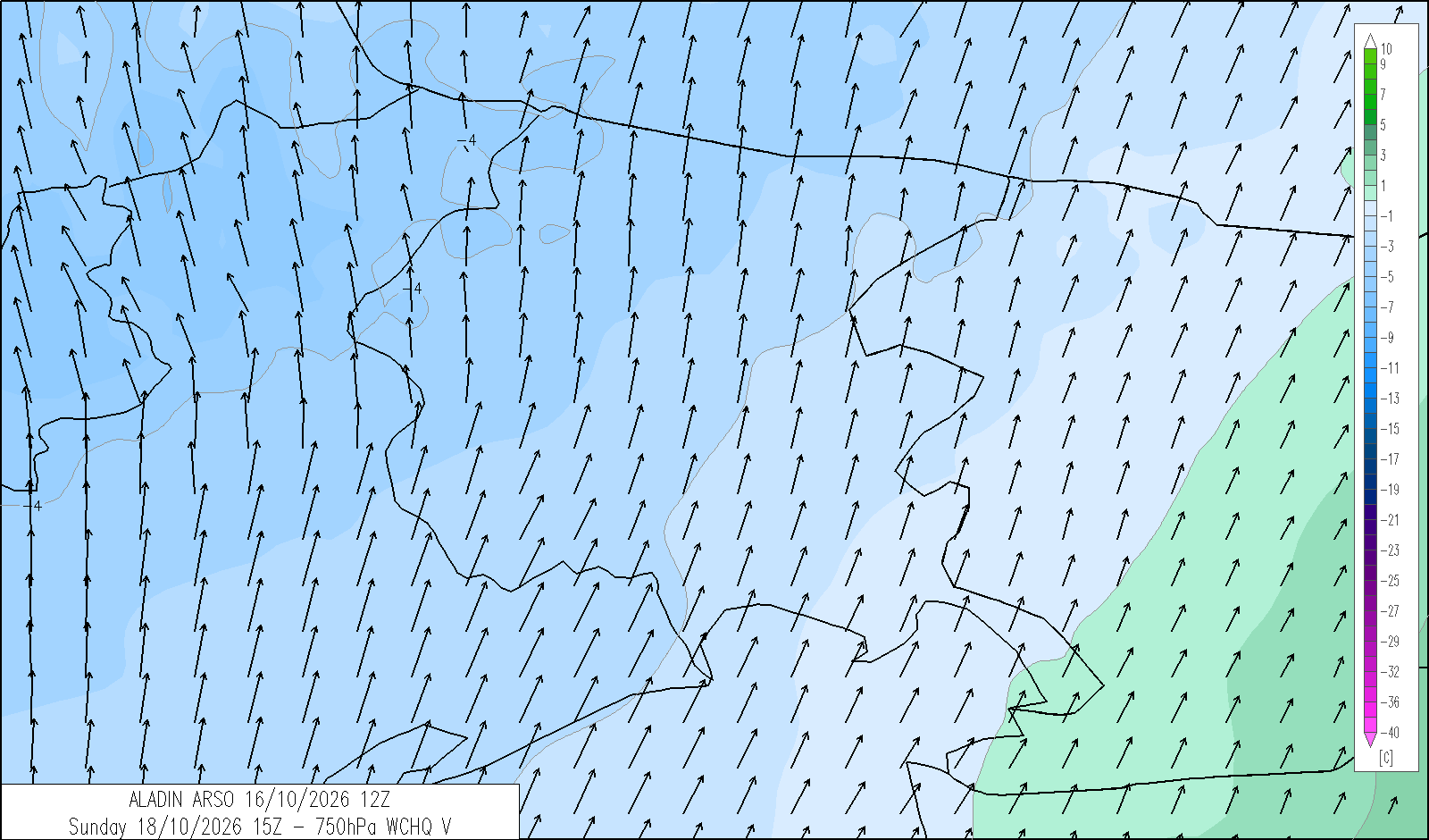
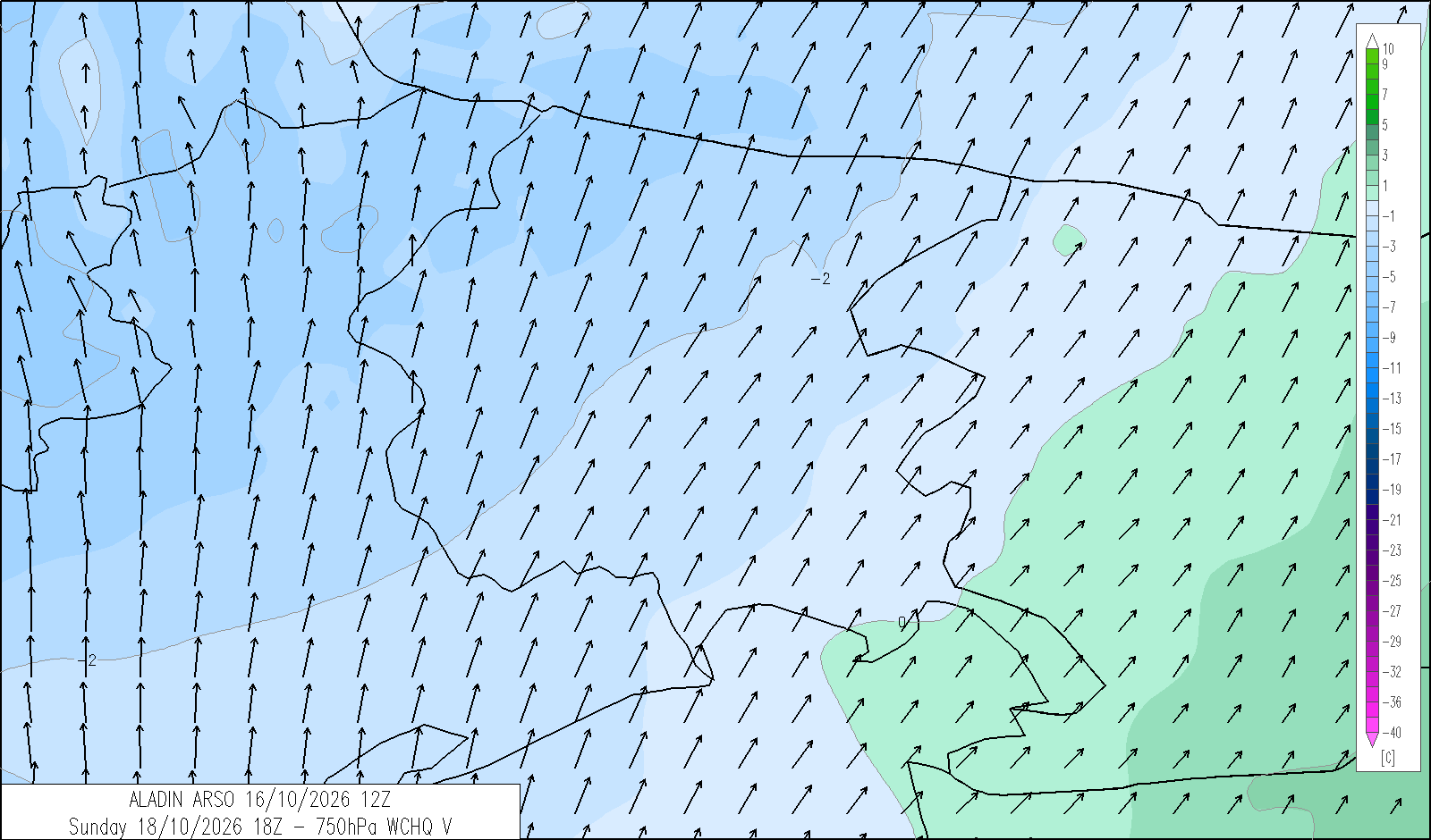
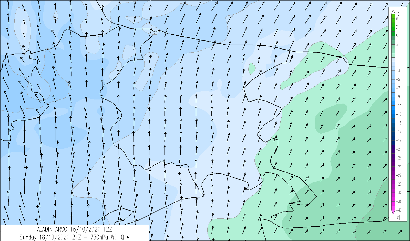
Skies will be variable, with bright spells alternating with extensive high cloud.
| average temp. at 1000 m (°C) | 12 |
| average temp. at 2000 m (°C) | 5 |
| prob. of widespread precipitations (%) | <10 |
| thunderstorms probability (%) | <10 |
| thermal zero height (m) | 3000 |
| snowfall level (m) | - |
| mean wind speed & direction at 3000 m (m/s) | Var. 5-10 |
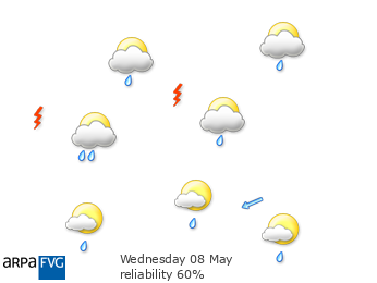
| 4 | 12 | 20 | |
|---|---|---|---|
| diurnal evolution |
|
|
|
trend for Monday 19 October
release: 16-10-2026 12:23 CEST
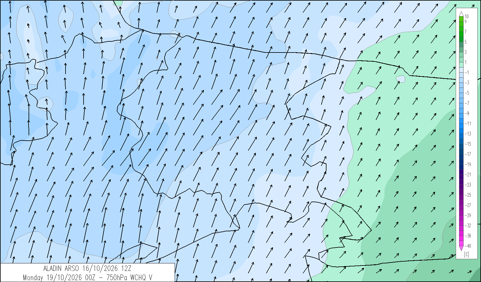
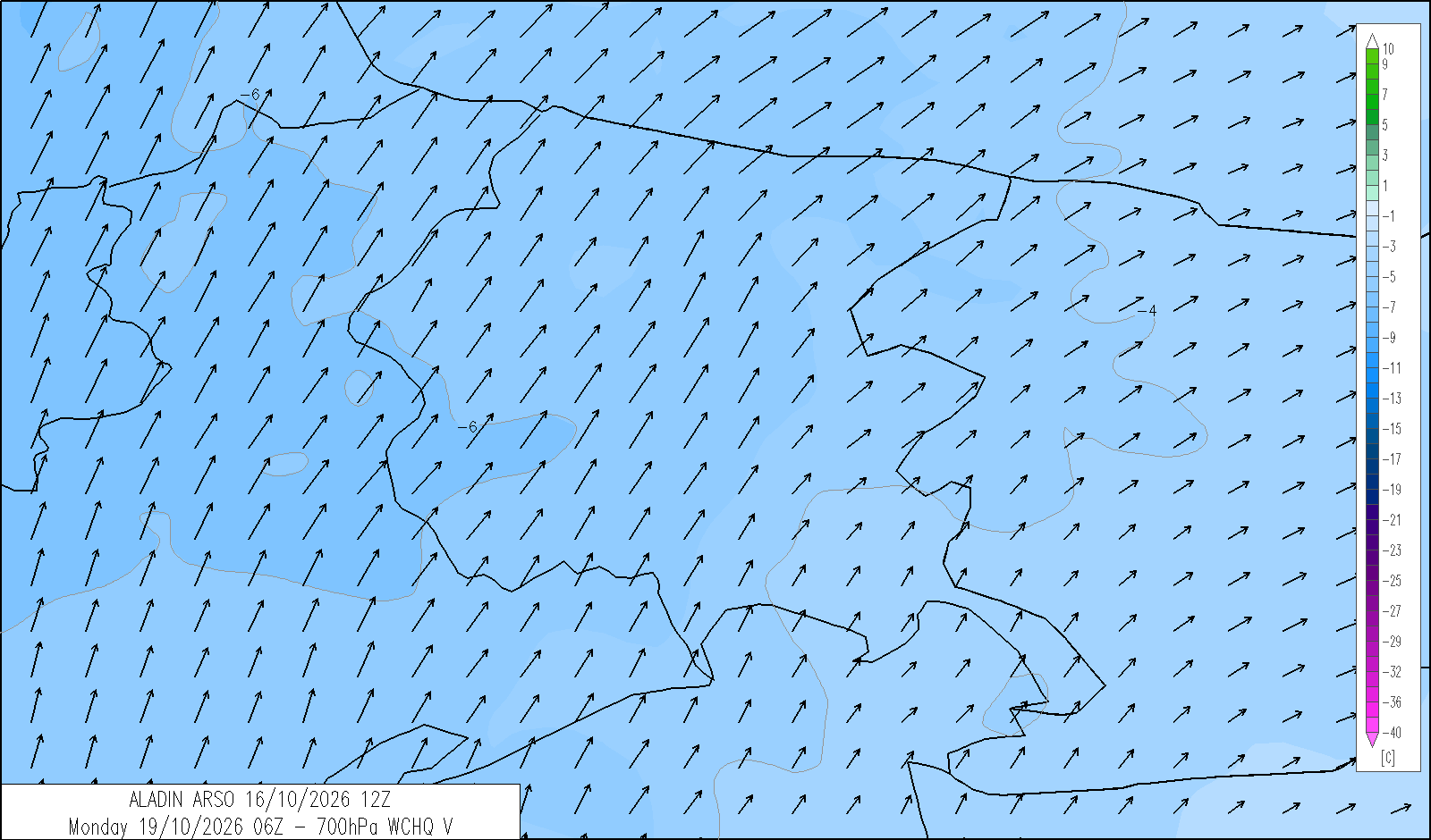
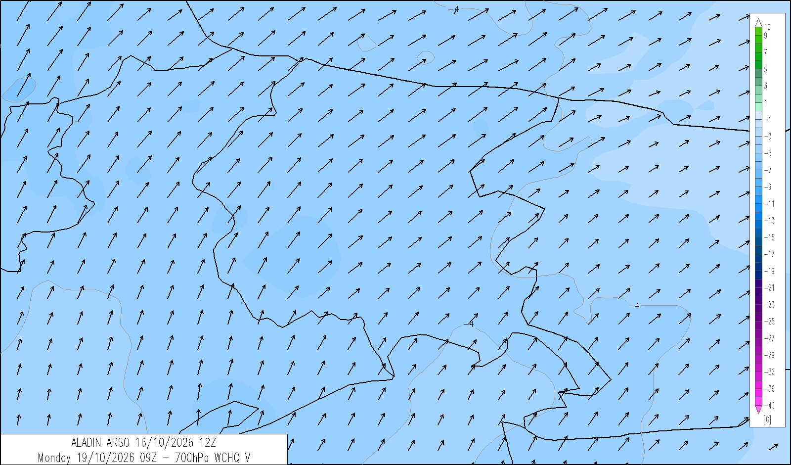
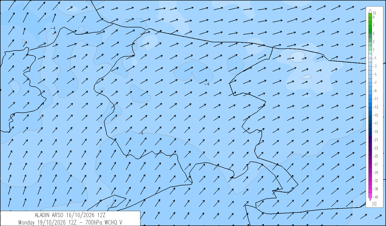
Skies will range from clear to partly cloudy, becoming at most variable in the afternoon towards the mountain areas. Borino will blow over the Karst and in Trieste overnight and then again in the evening. Low cloud cannot be ruled out in the Tarvisiano overnight and into the morning. Maximum temperatures will be above average.
| temp. (°C) | min | max | med | |
|---|---|---|---|---|
| plain | 9/12 | 21/23 | 2000 m | 7 |
| coast | 14/16 | 19/22 | 1000 m | 12 |
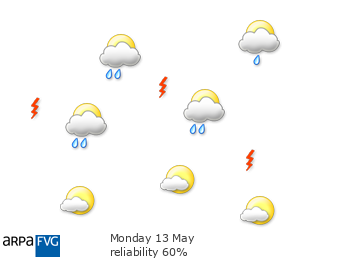
| 4 | 12 | 20 | |
|---|---|---|---|
| diurnal evolution |
|
 |
|
trend for Tuesday 20 October
release: 16-10-2026 12:23 CEST
Skies will be predominantly cloudy. Light to moderate rain will be possible from the afternoon and could become heavier overnight and during the following day. Moderate Sirocco will blow along the coast from around midday.
| temp. (°C) | min | max | med | |
|---|---|---|---|---|
| plain | 10/12 | 19/21 | 2000 m | 6 |
| coast | 15/16 | 19/21 | 1000 m | 10 |
webcam - panomax.com



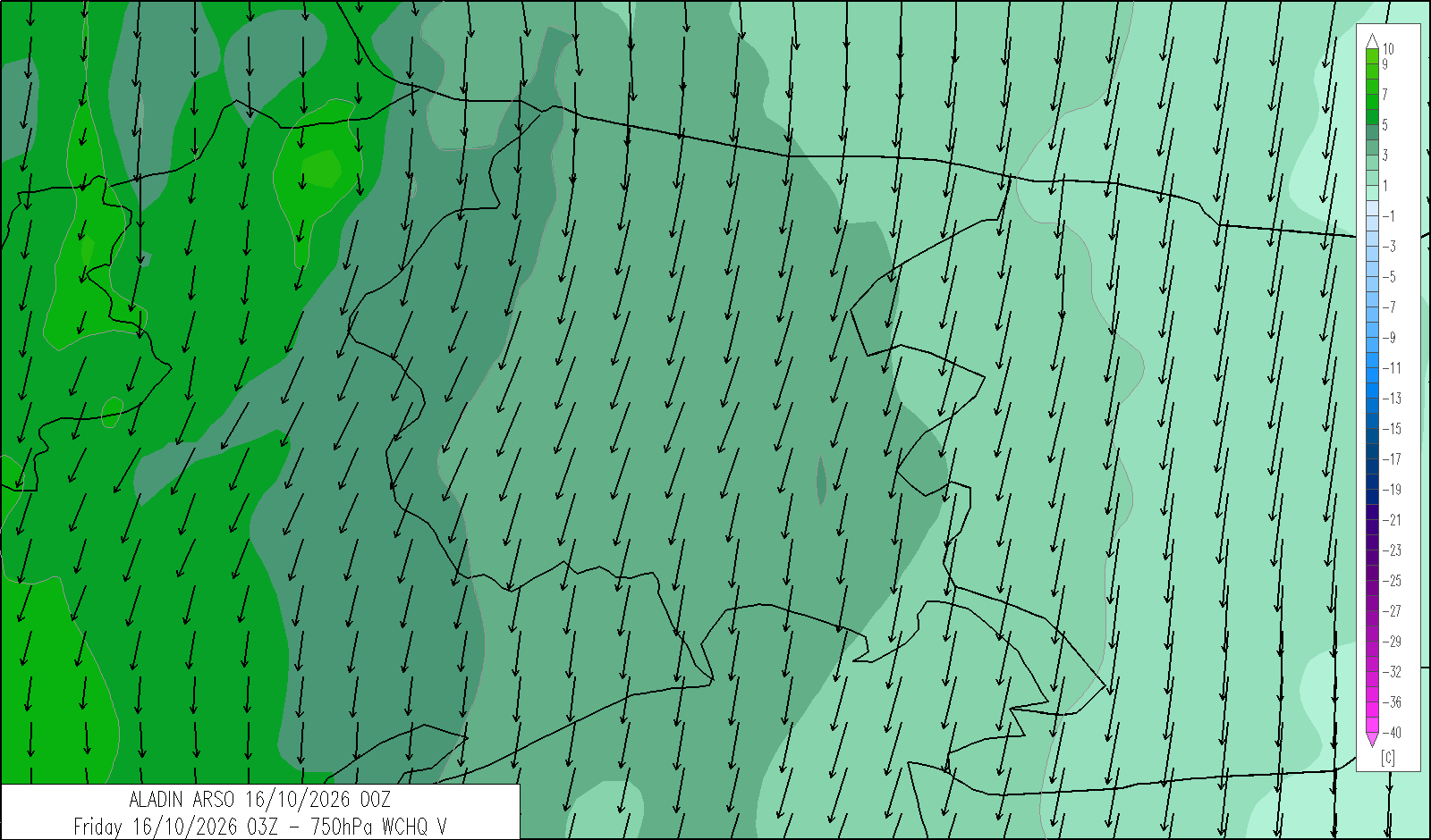
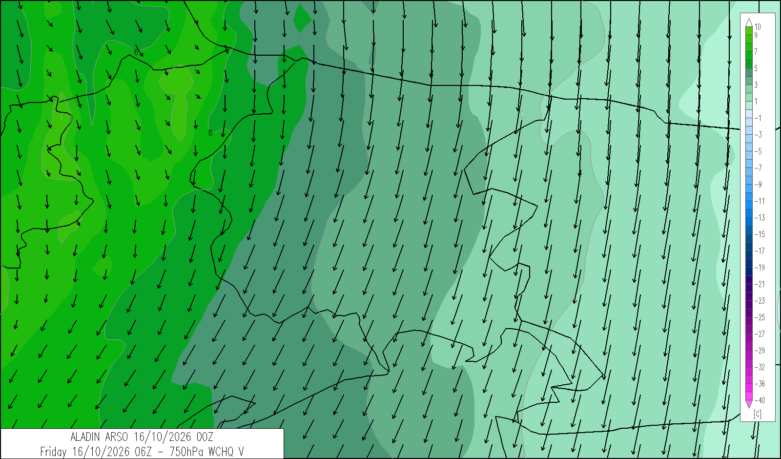
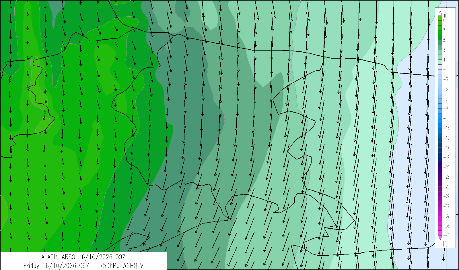
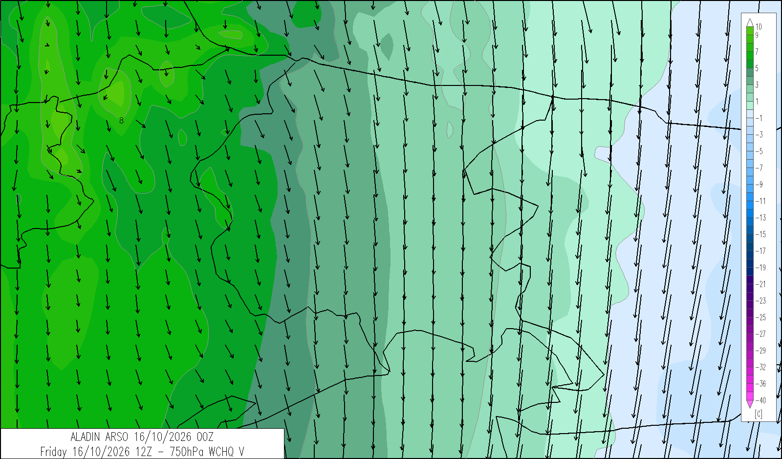
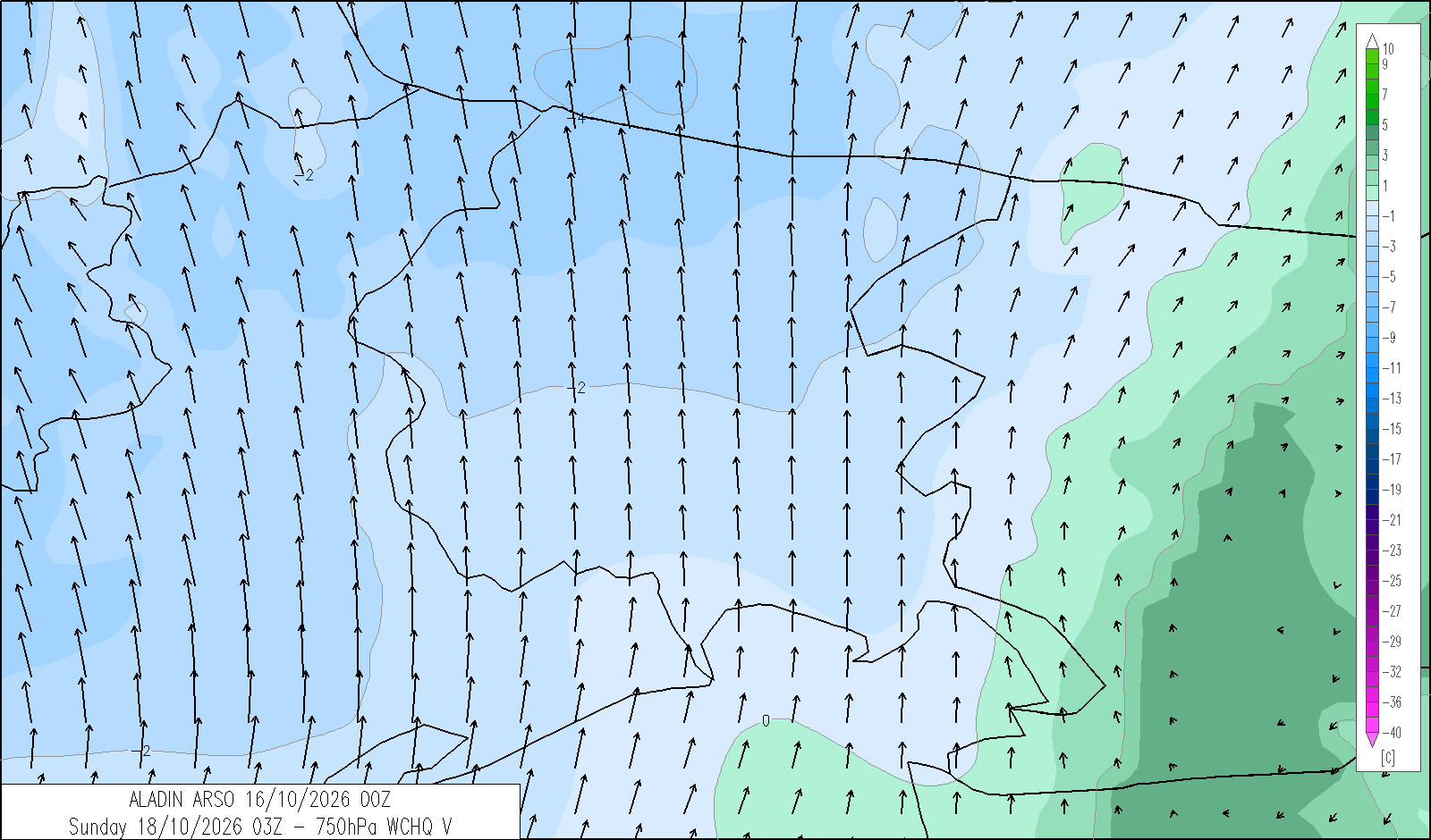
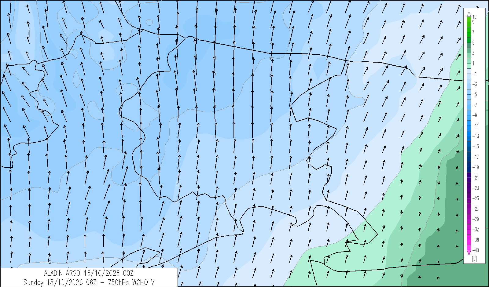
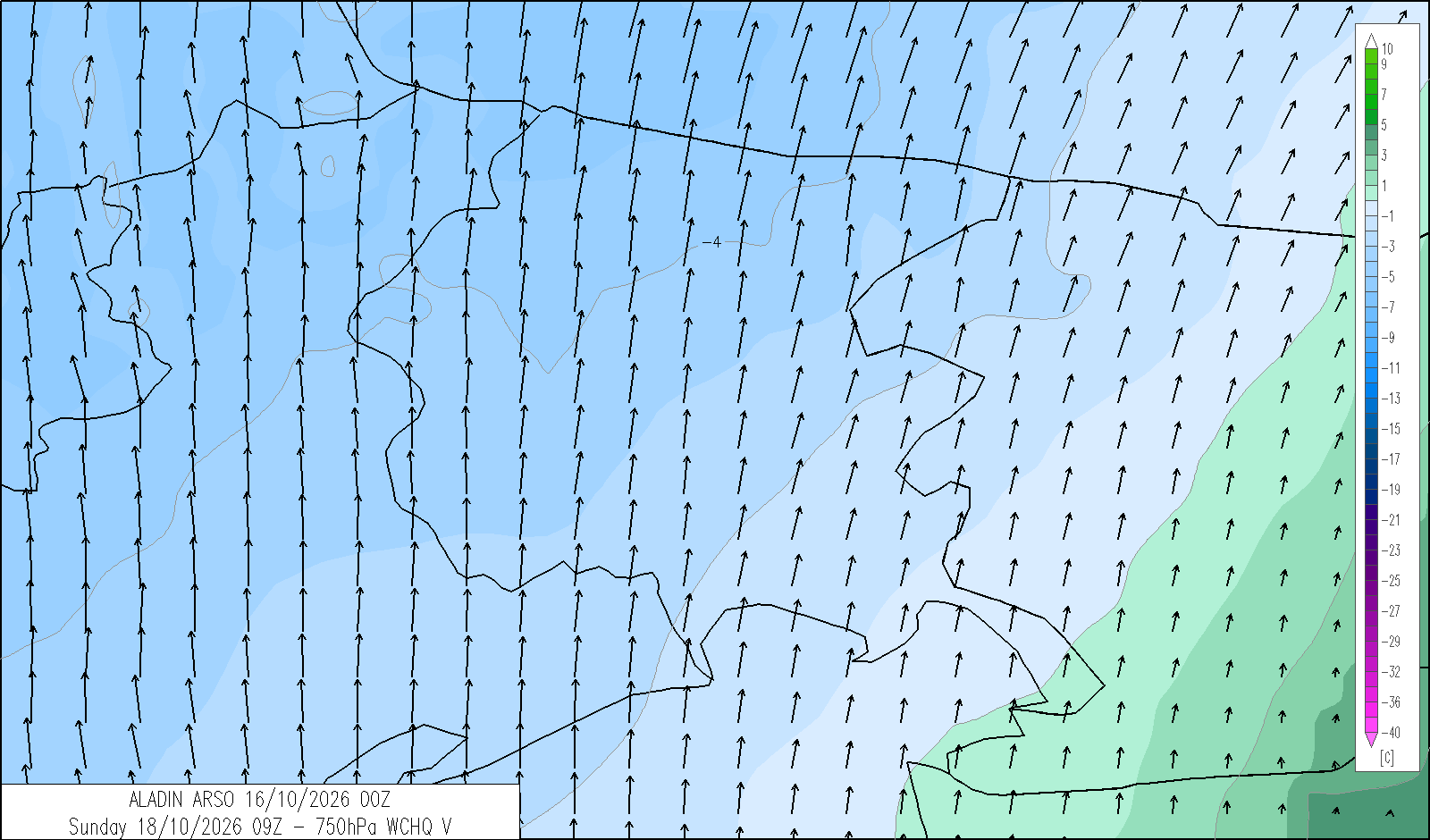
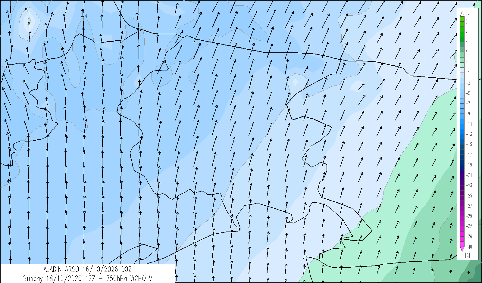
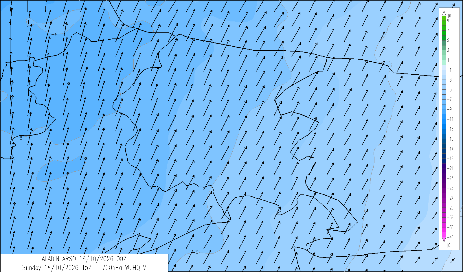
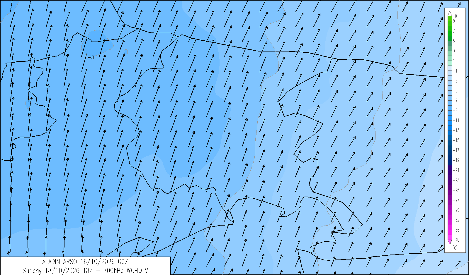
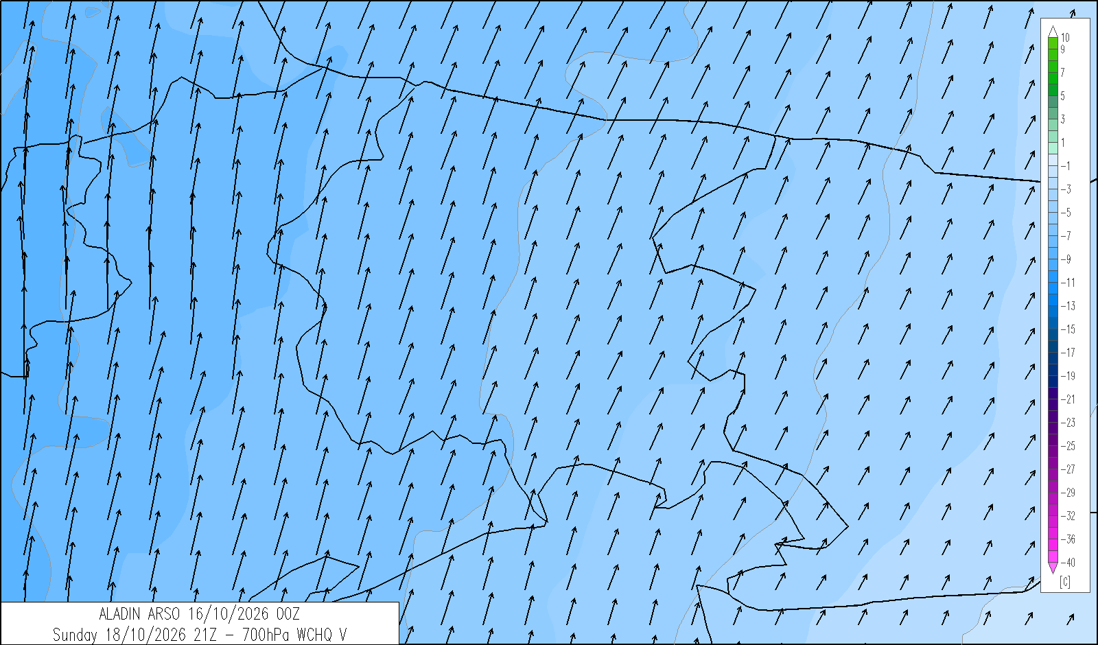
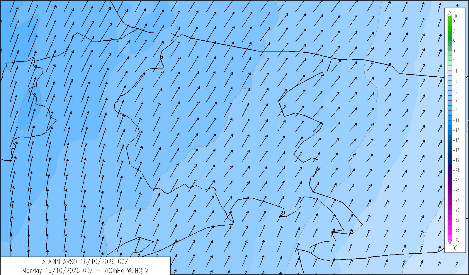
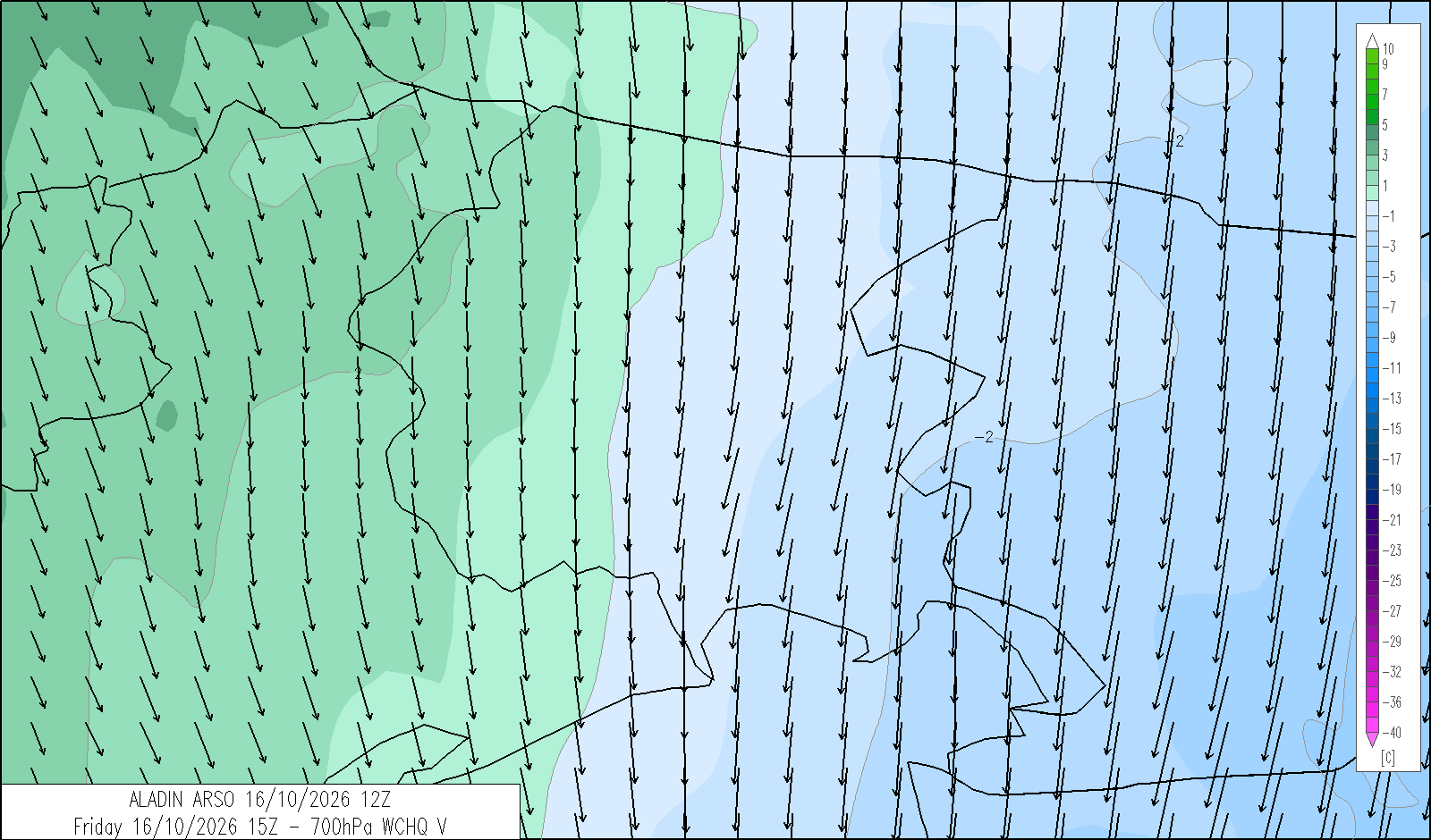
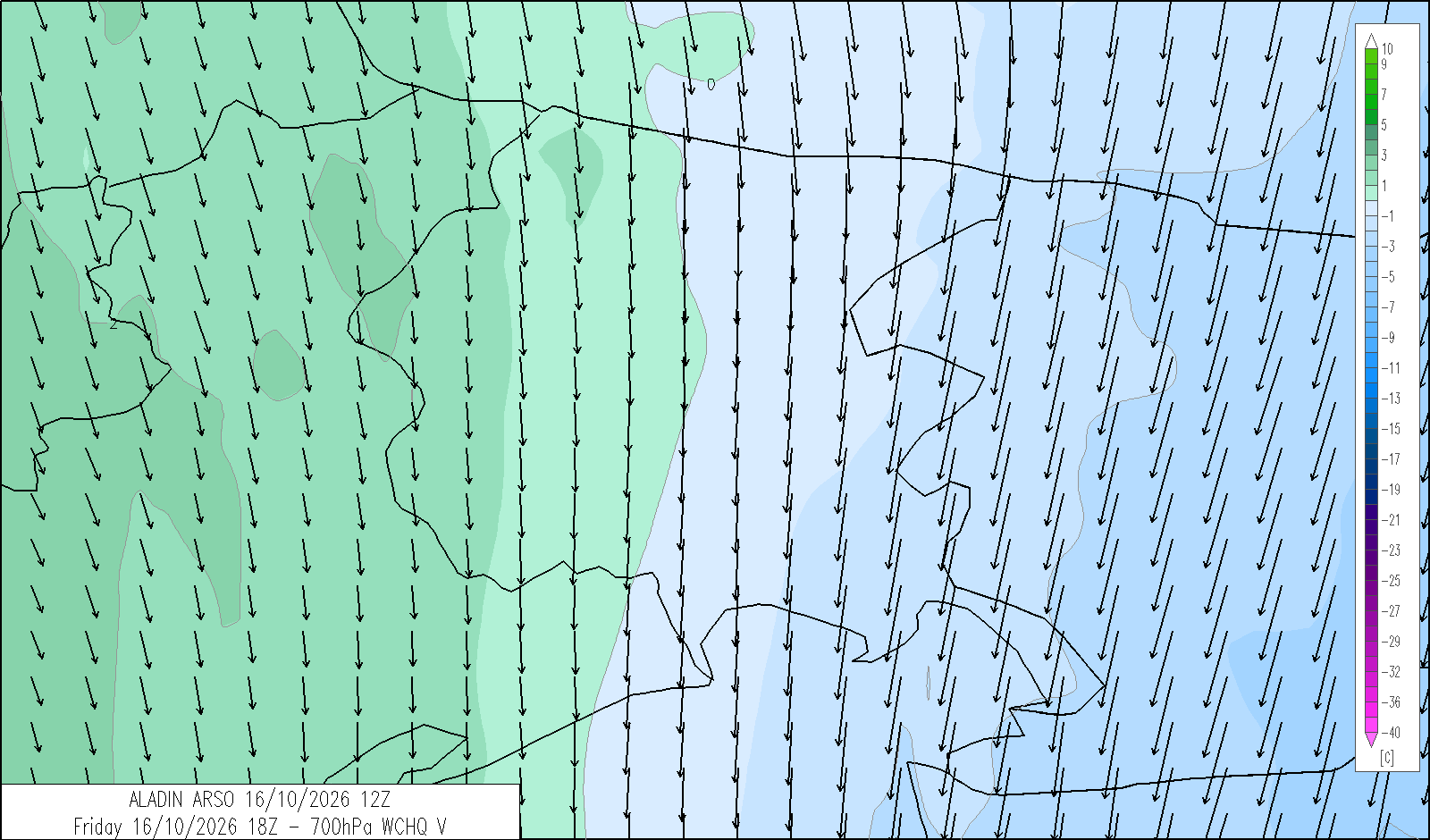
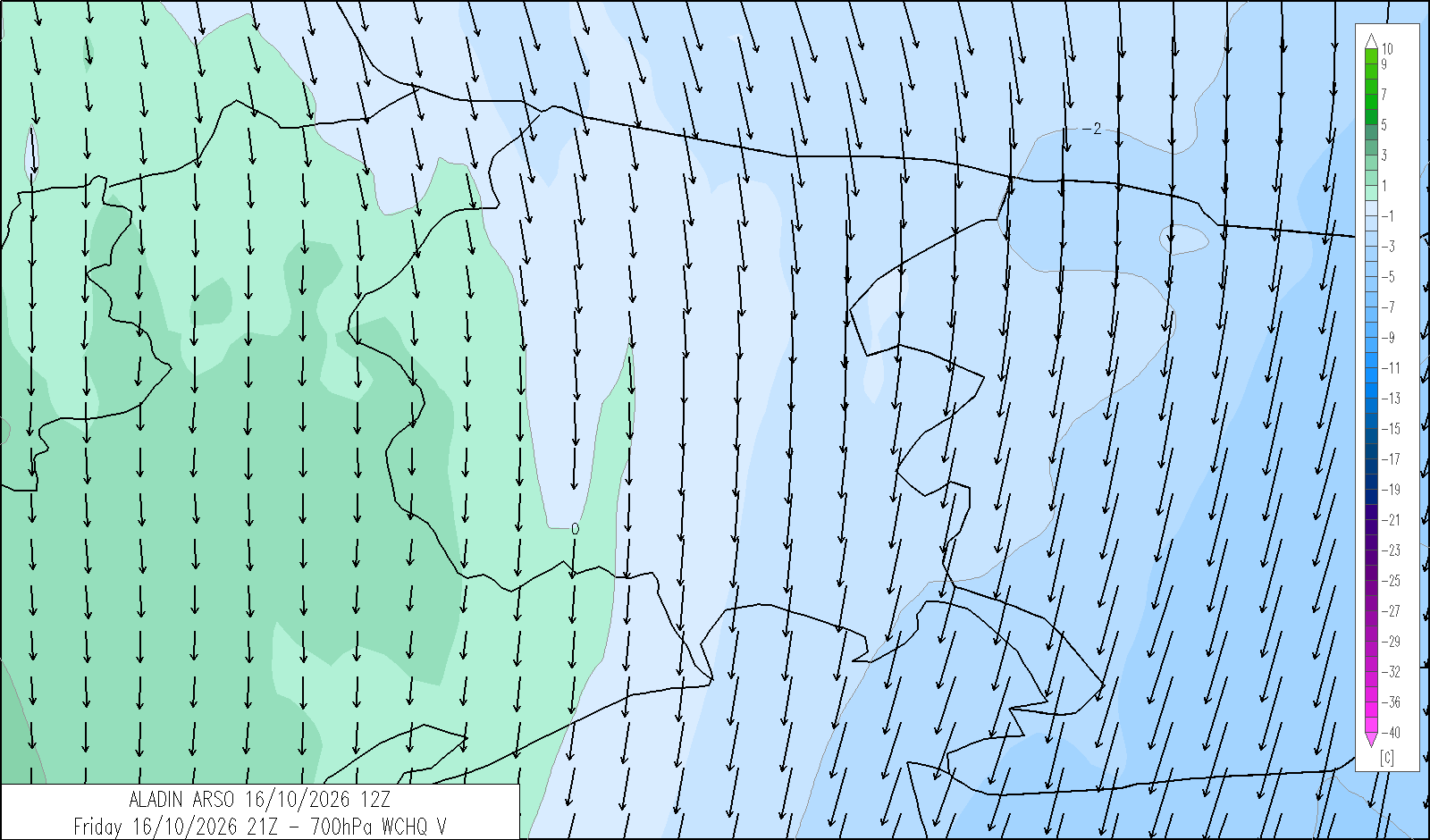
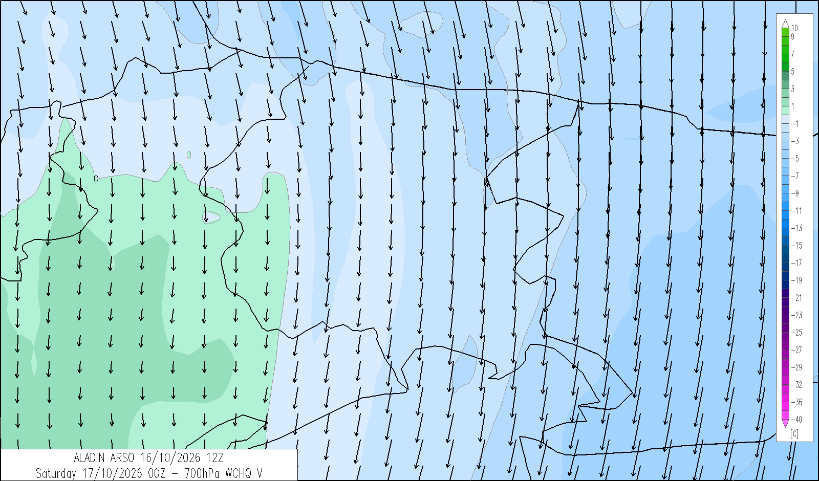
freezing level
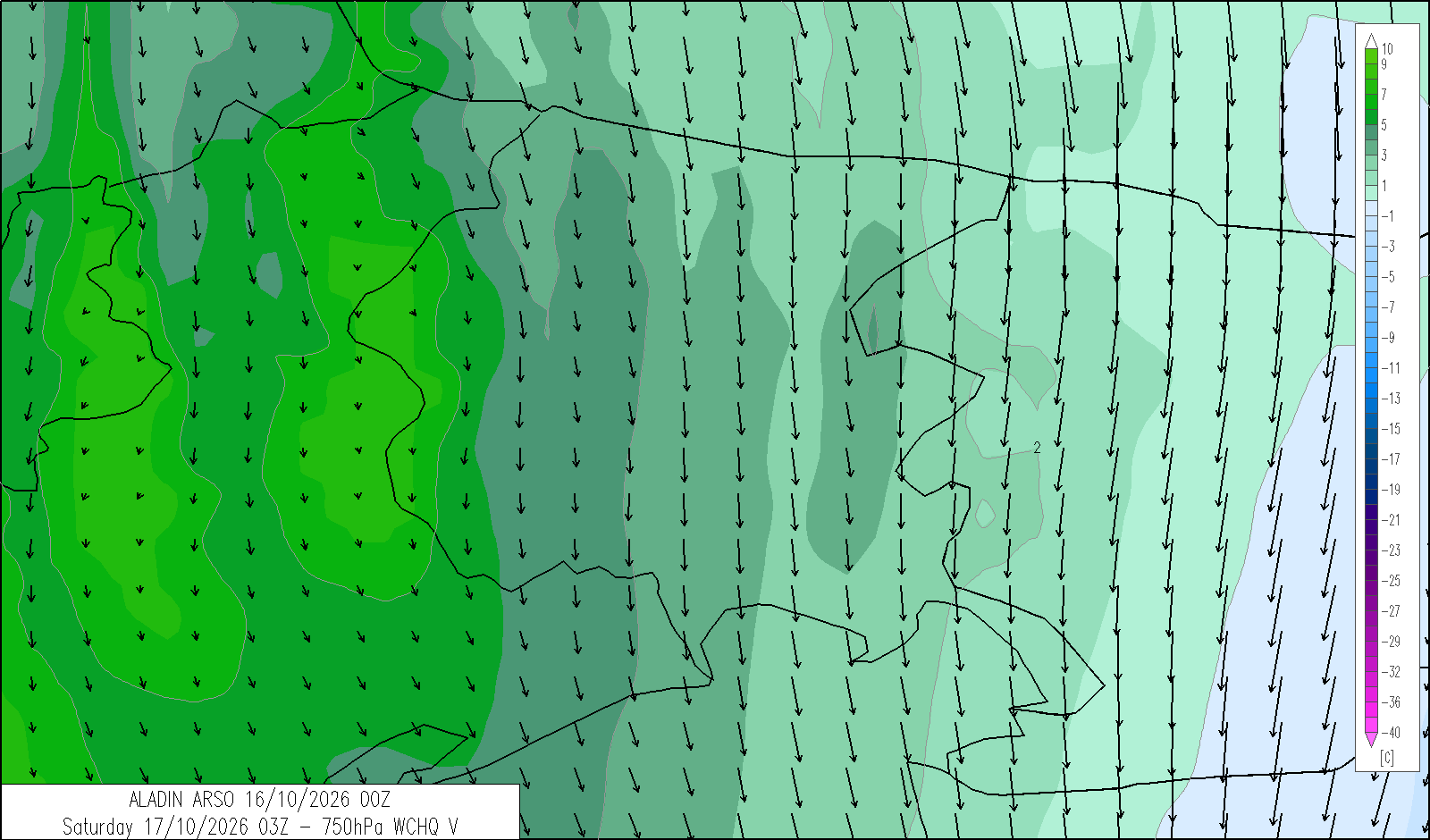
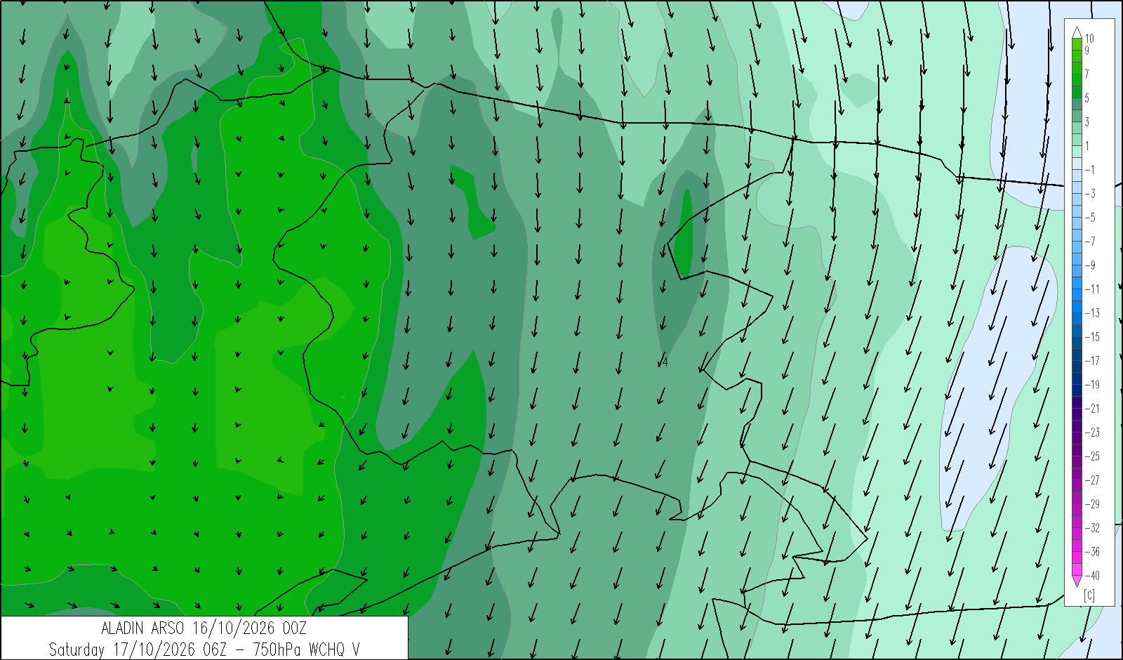
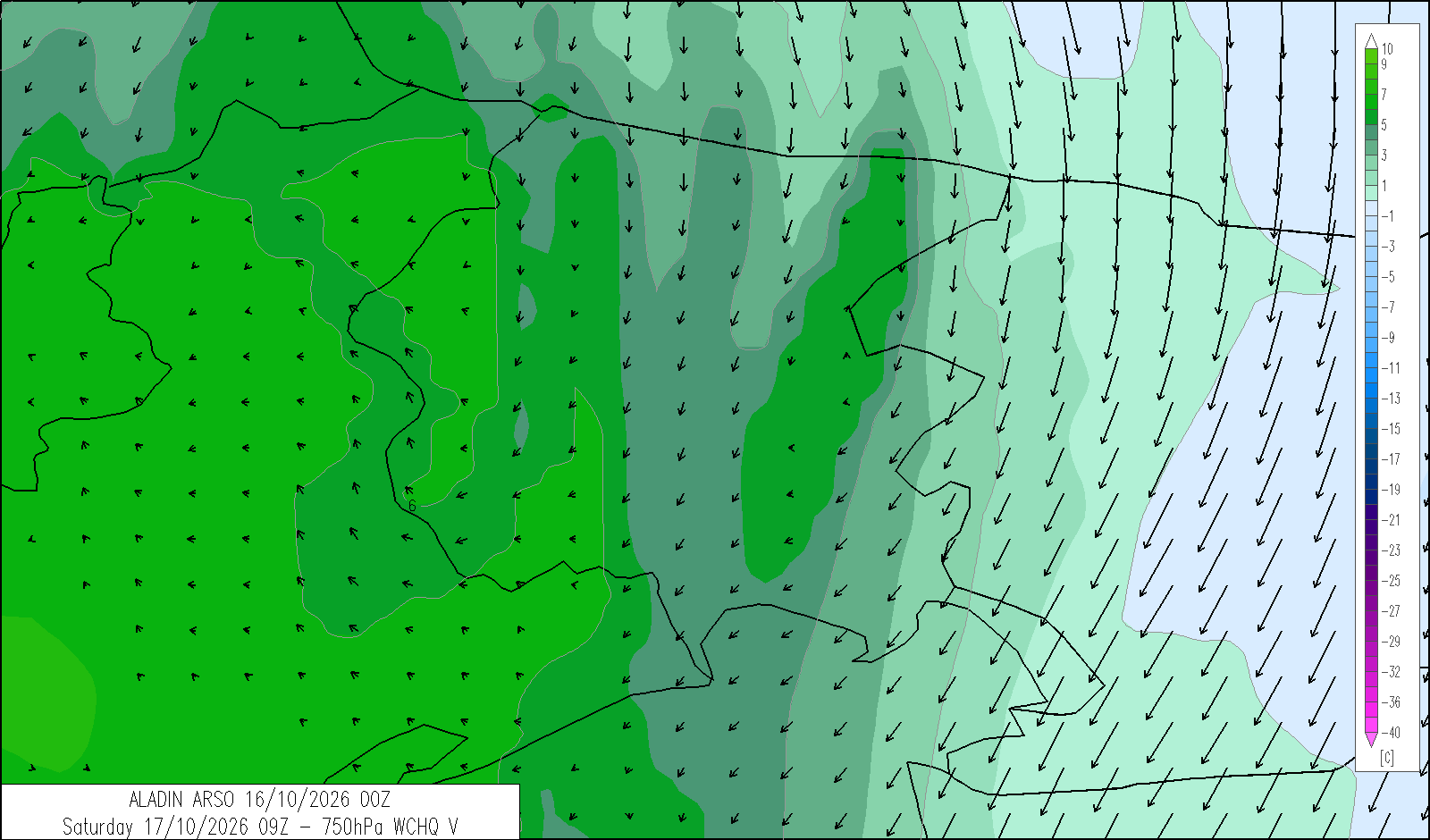
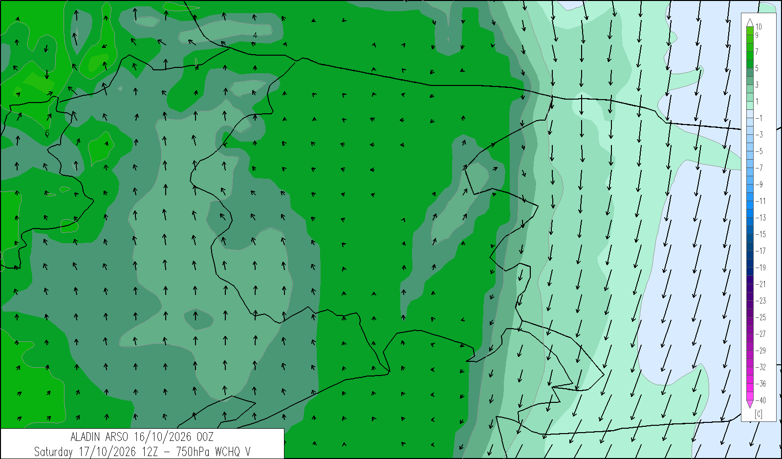
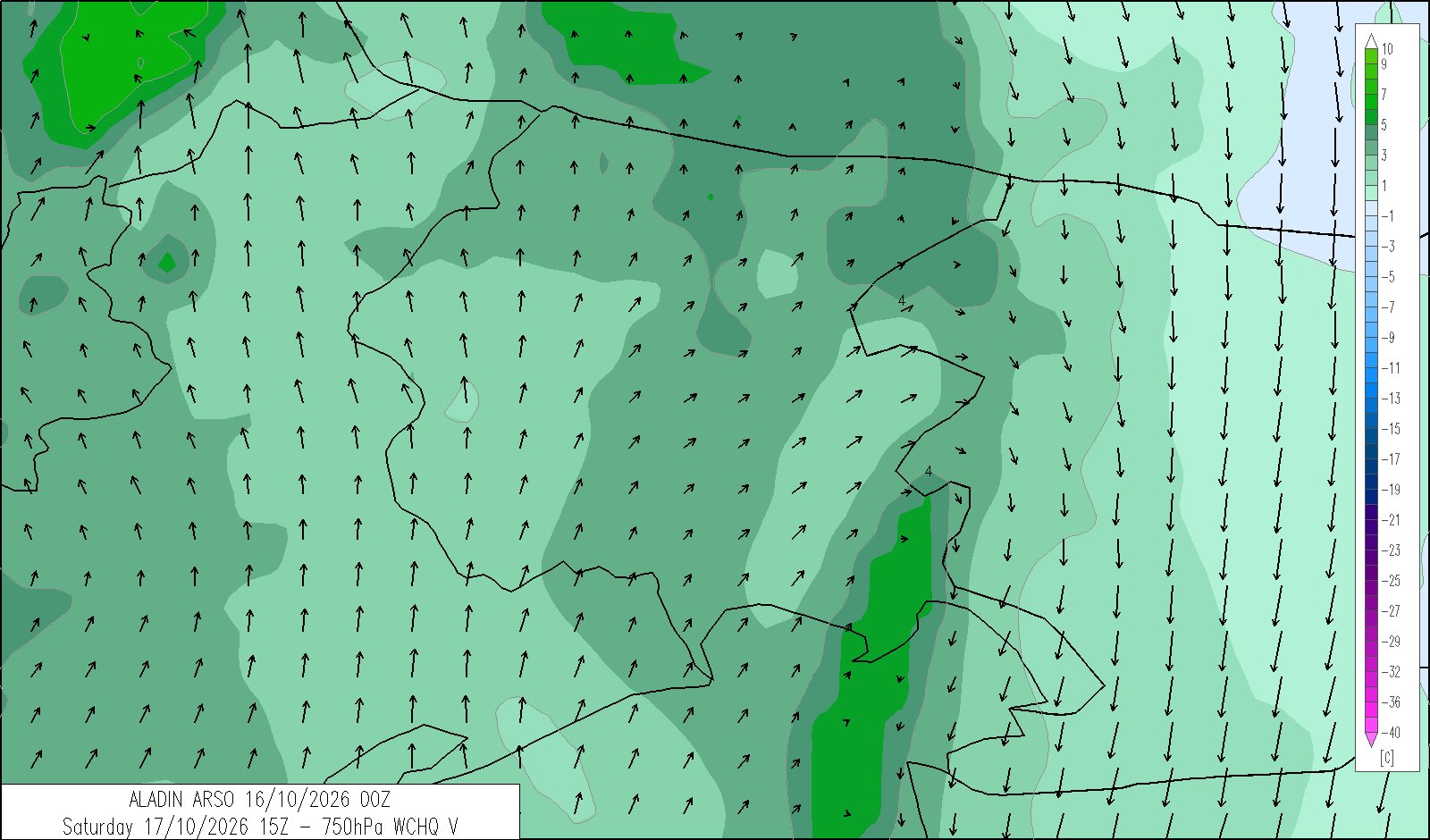
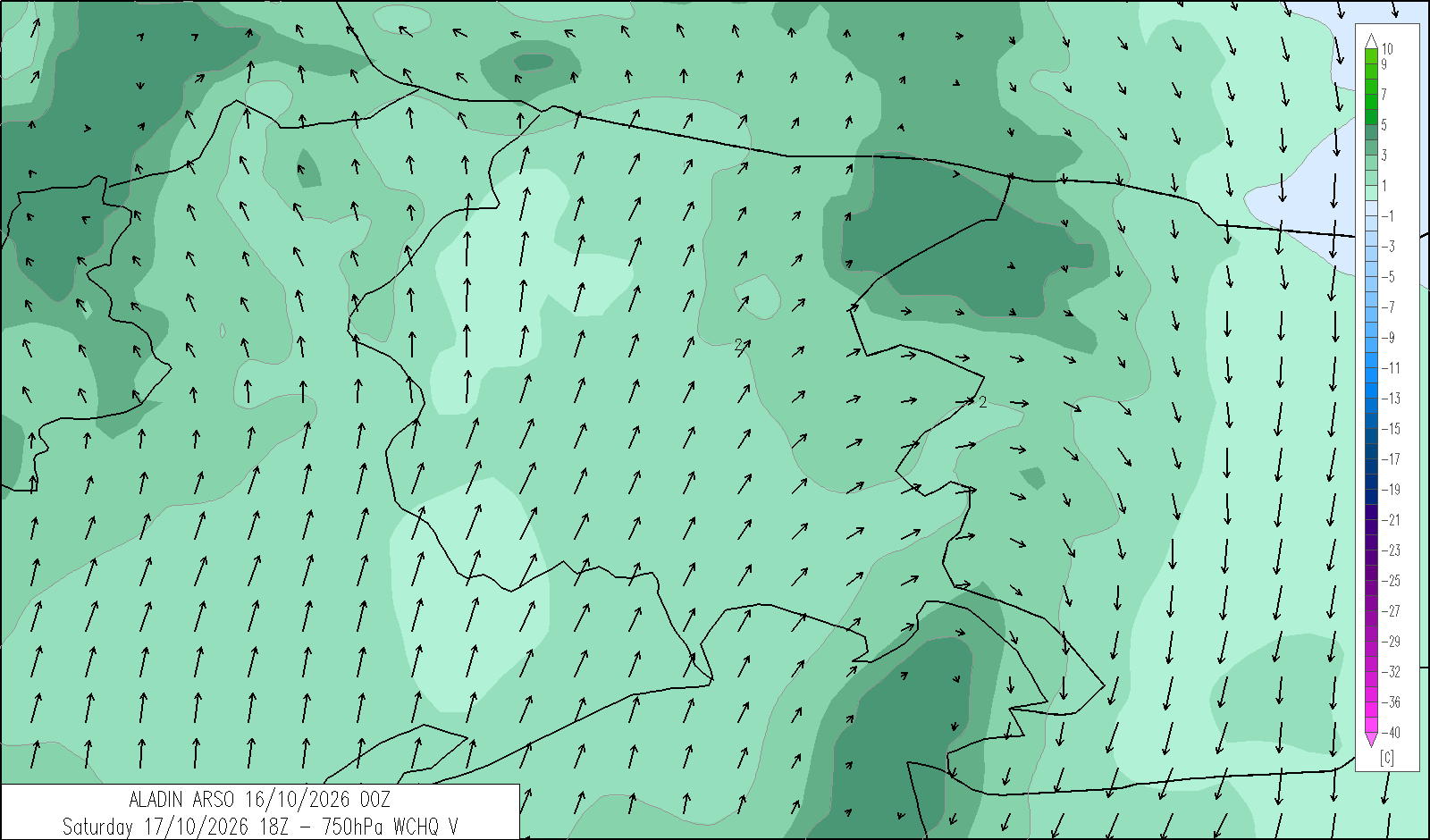
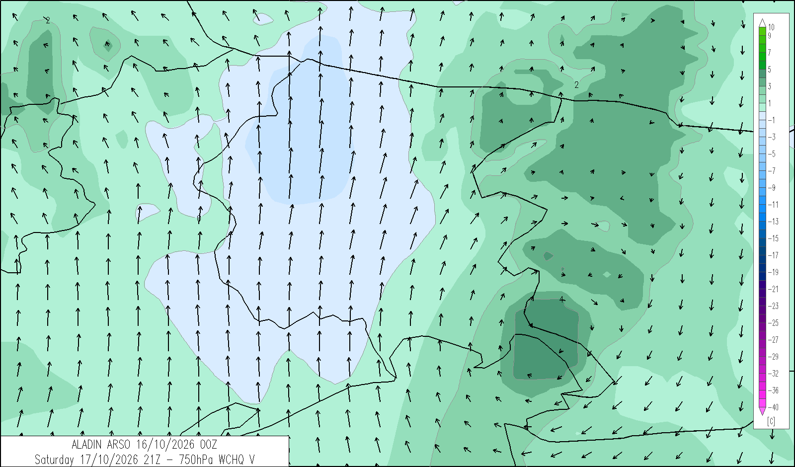
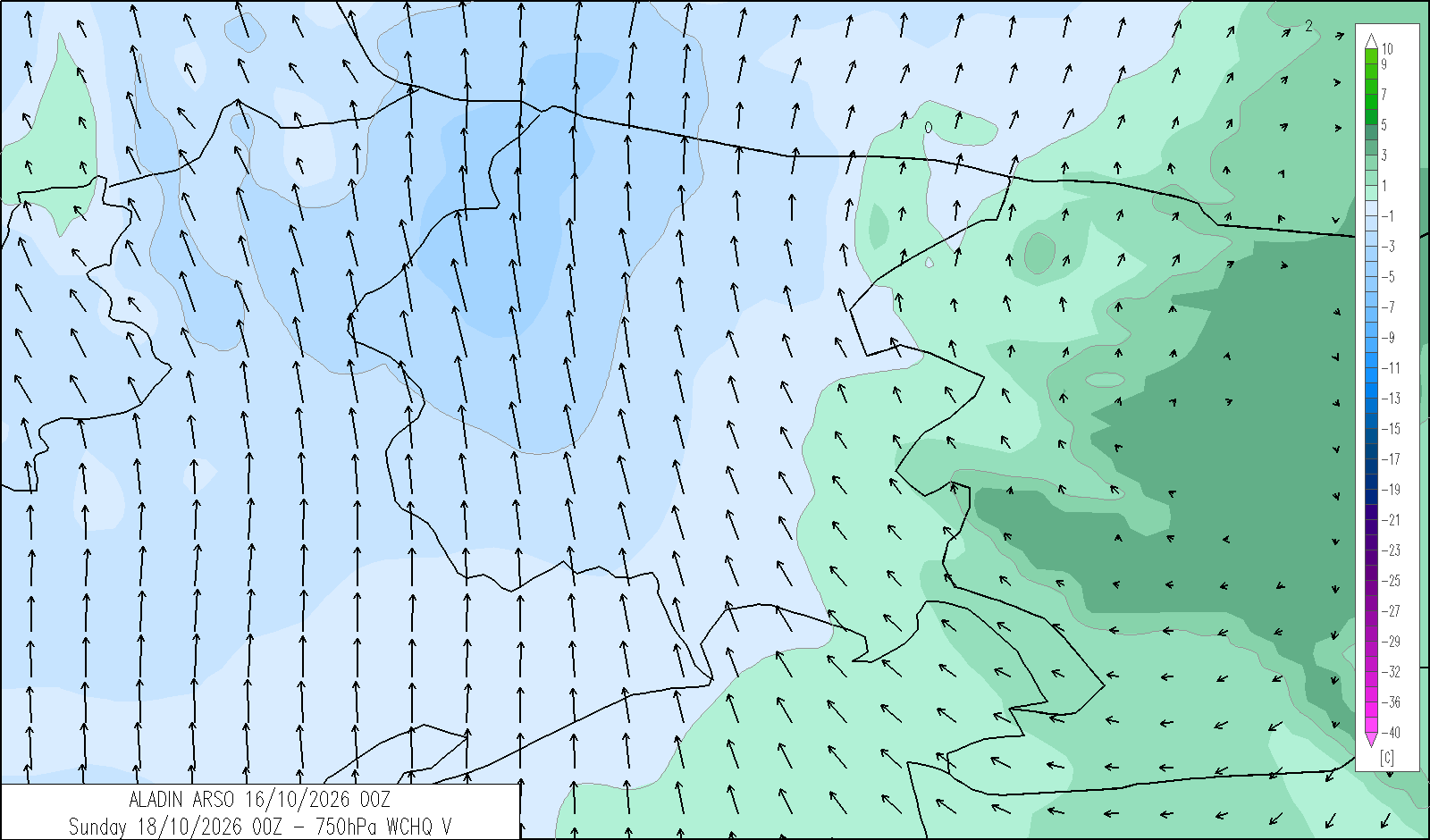
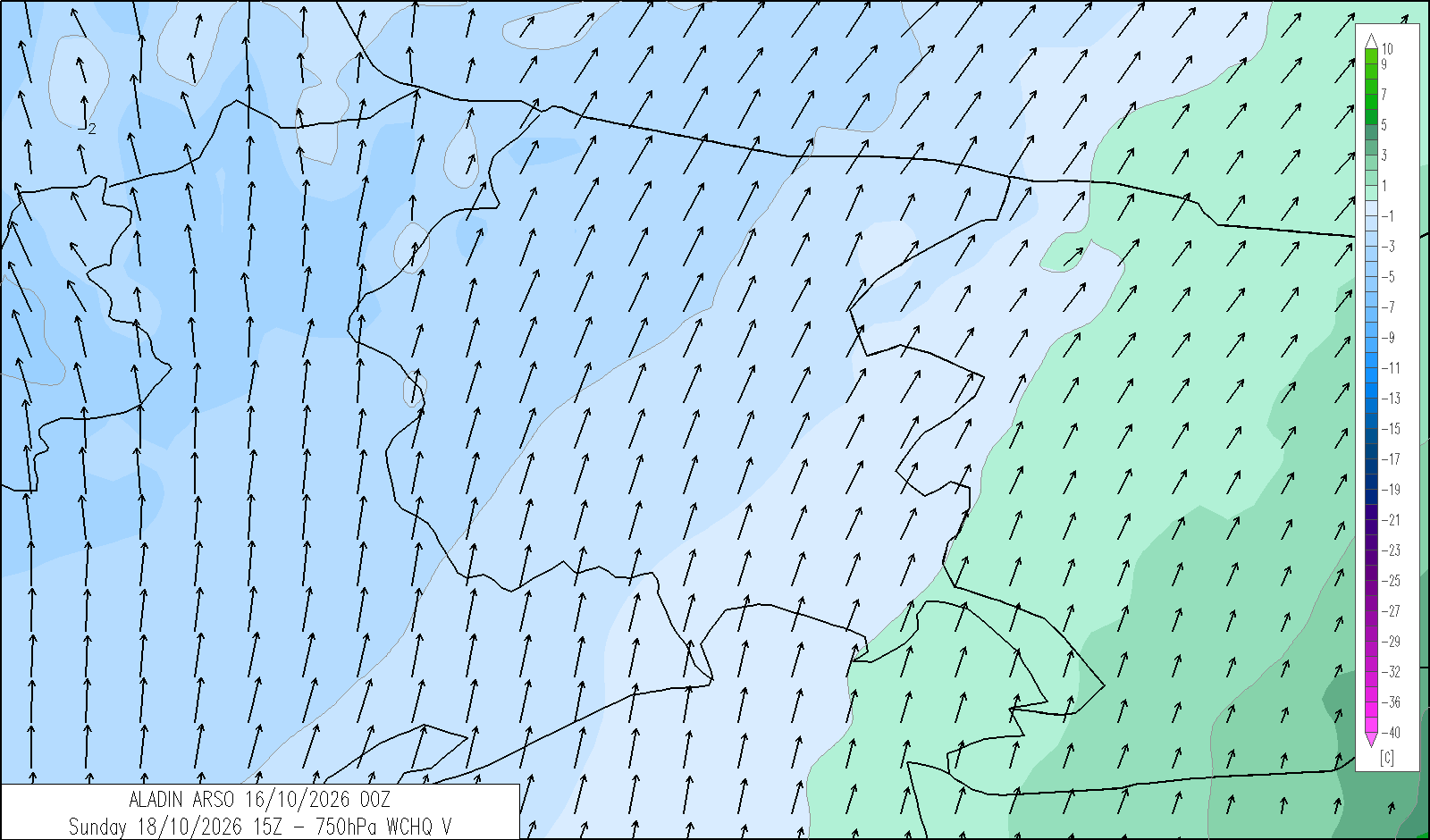
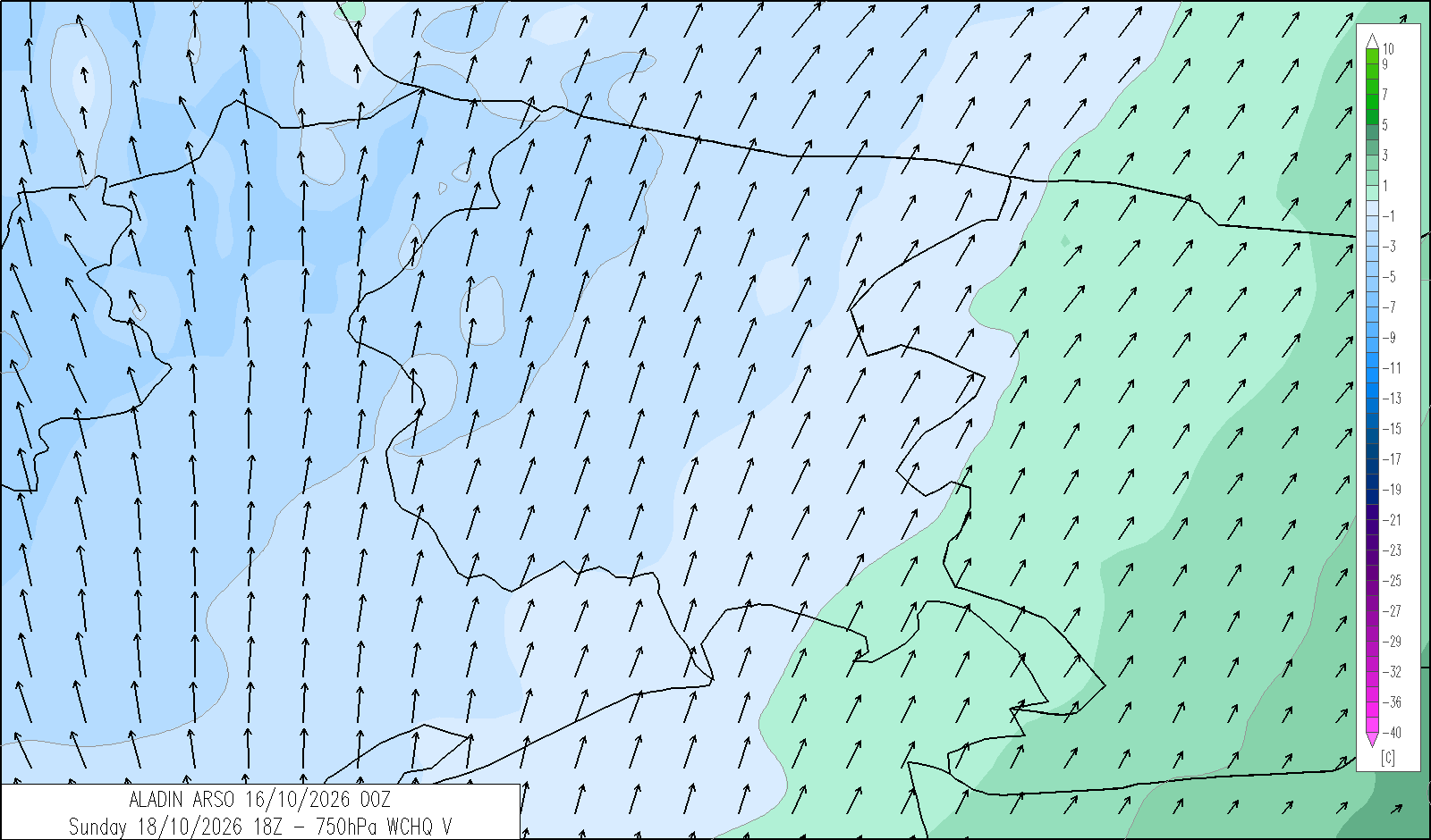
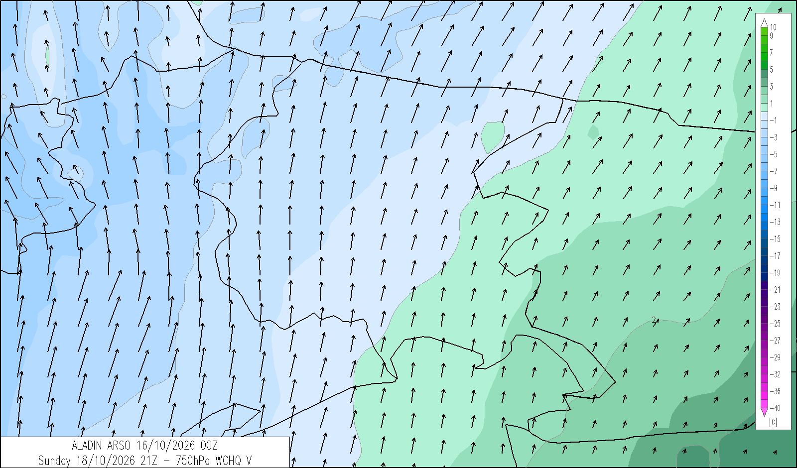
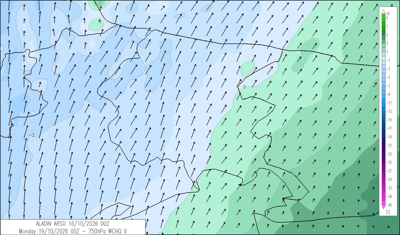
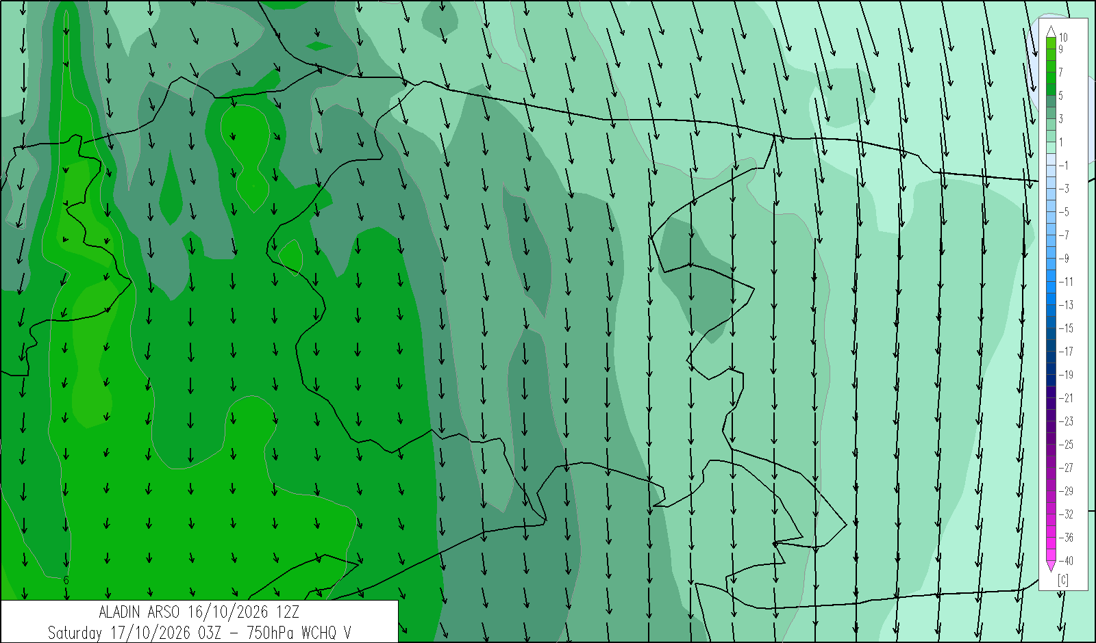
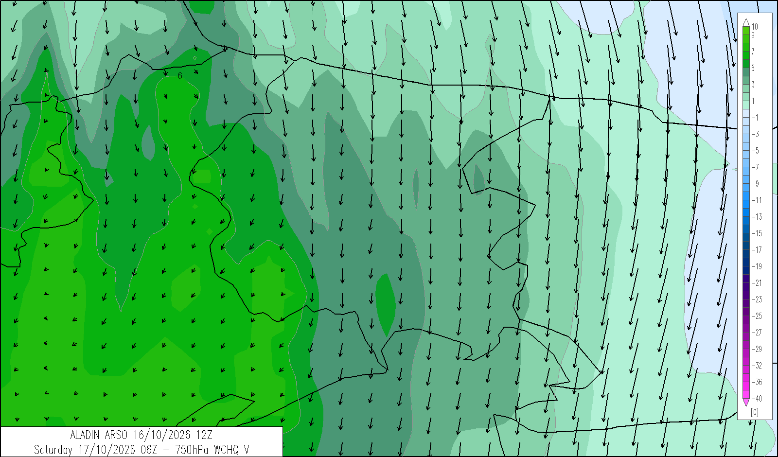
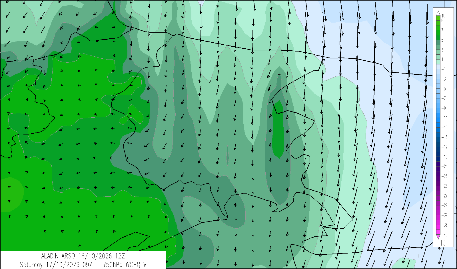
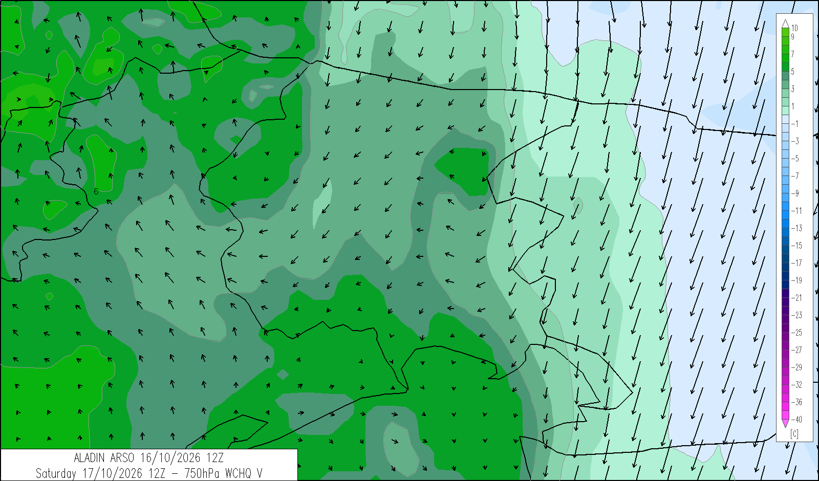
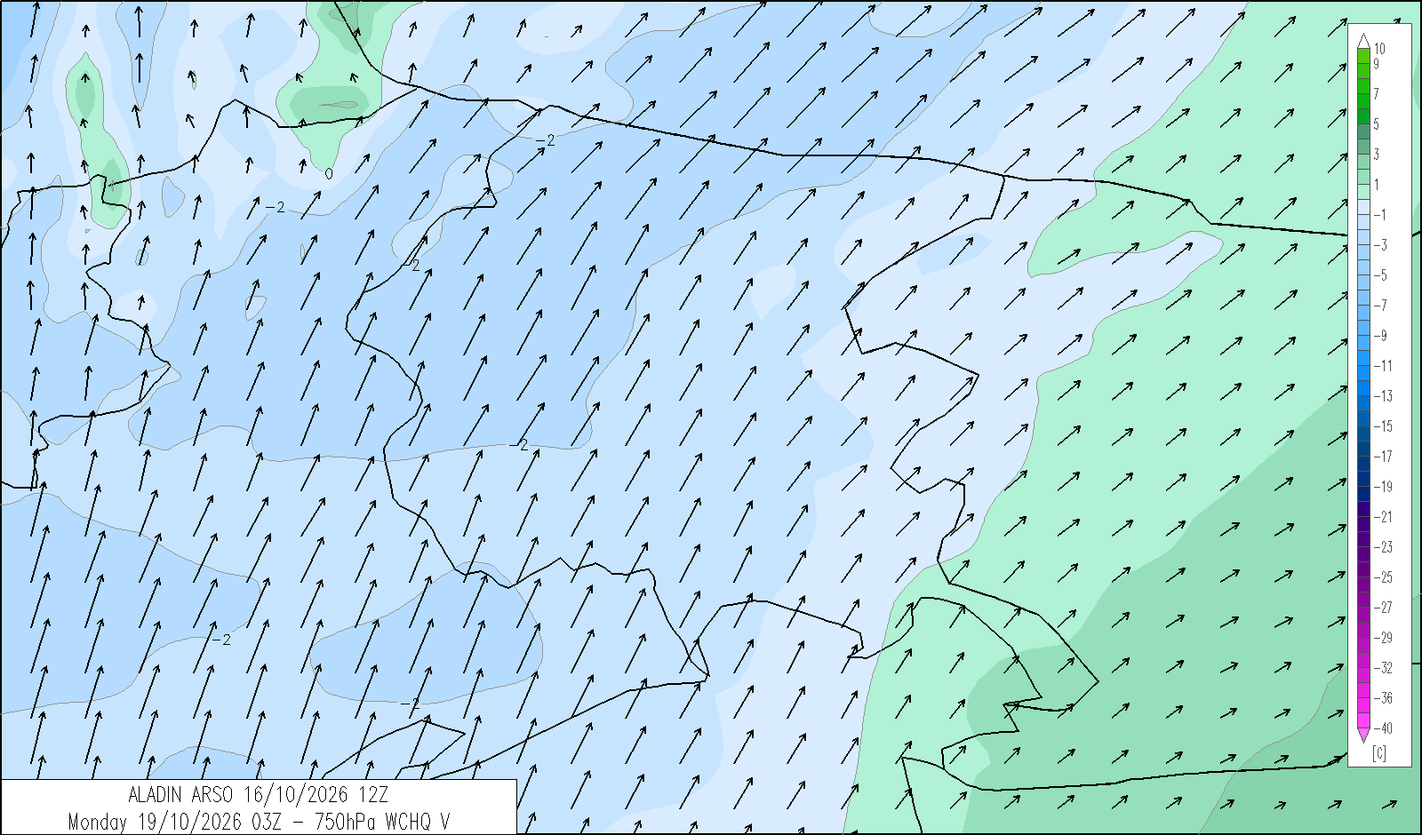
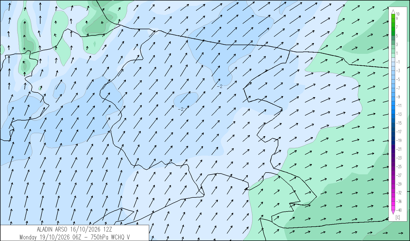
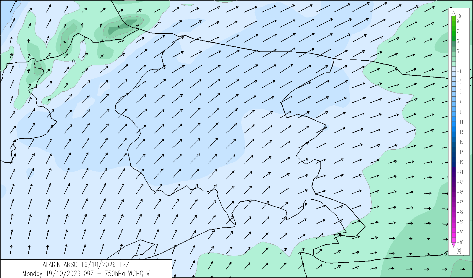
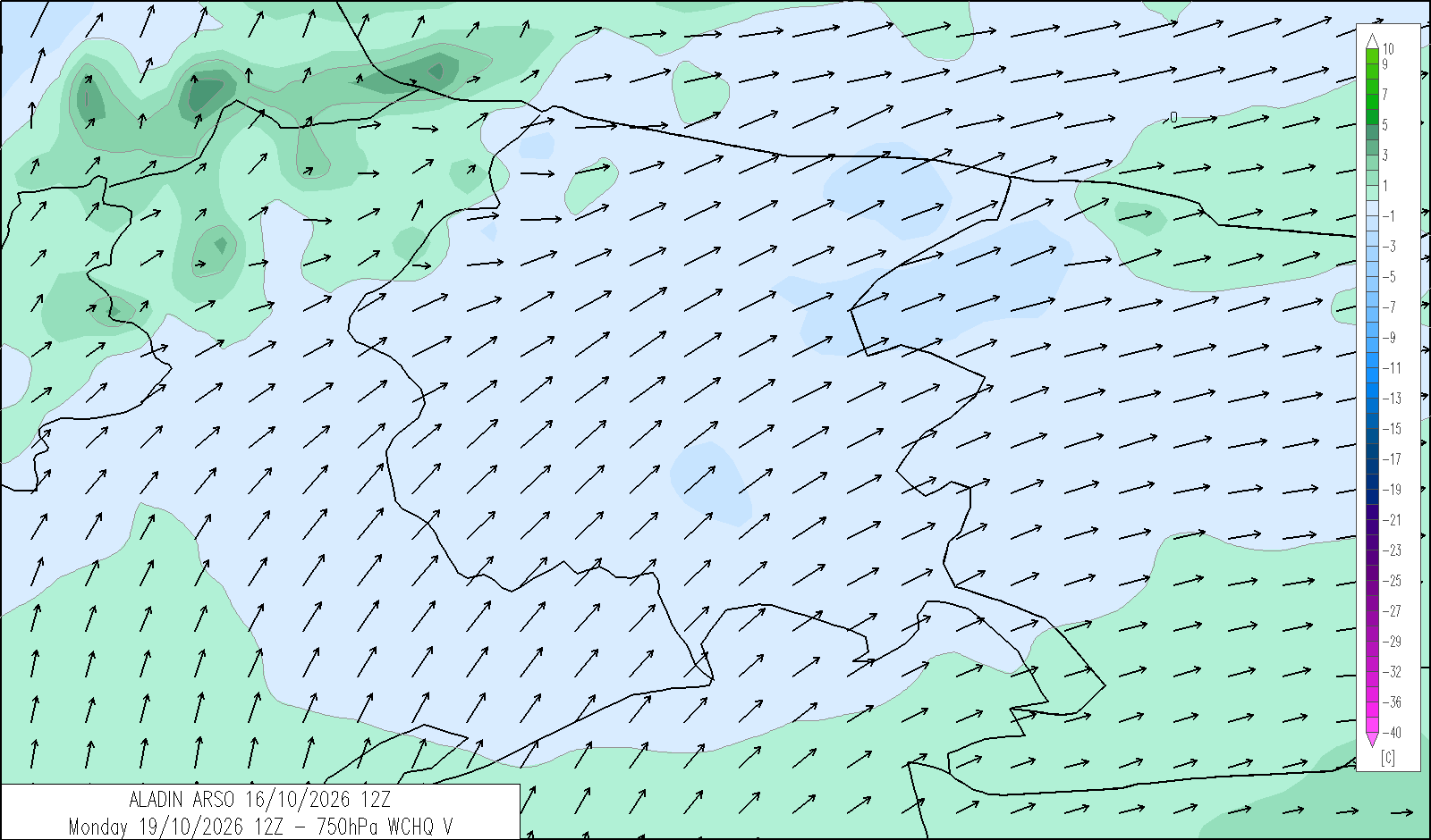
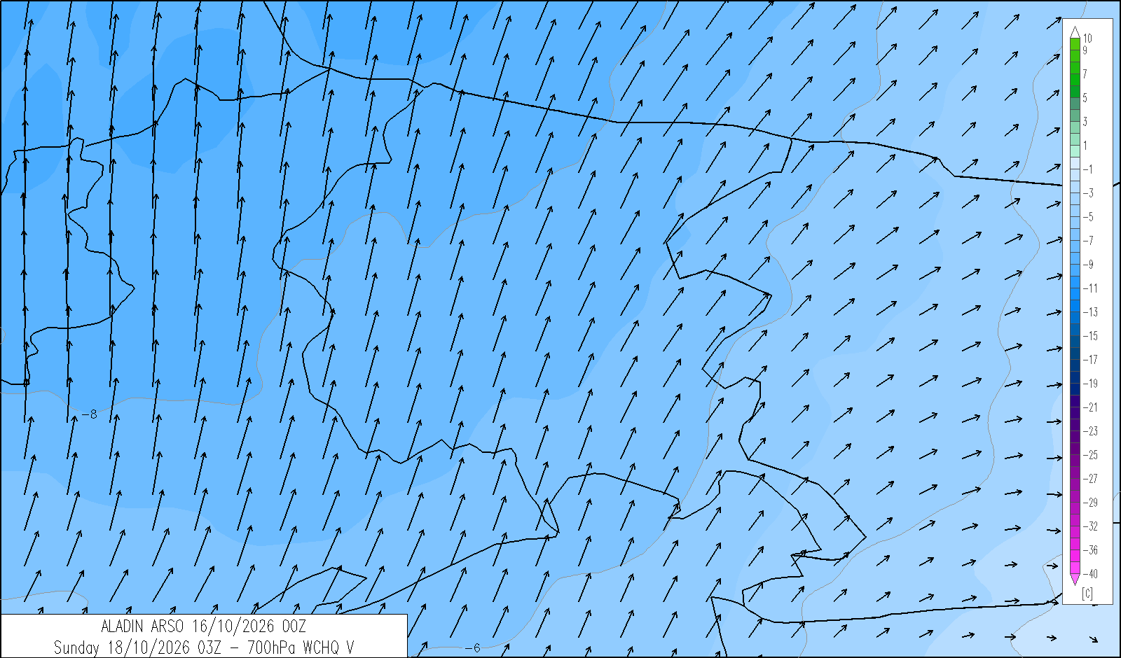
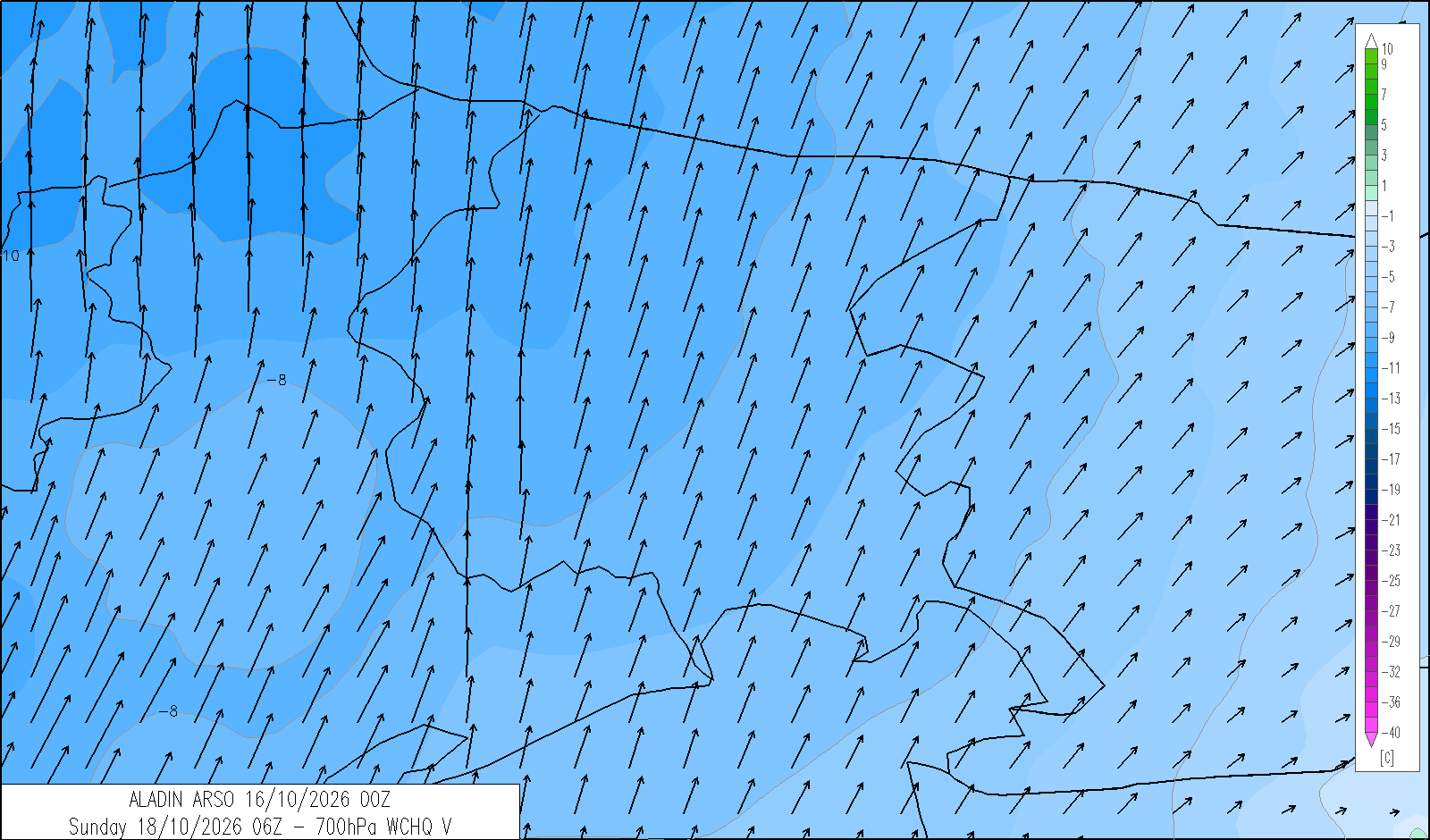
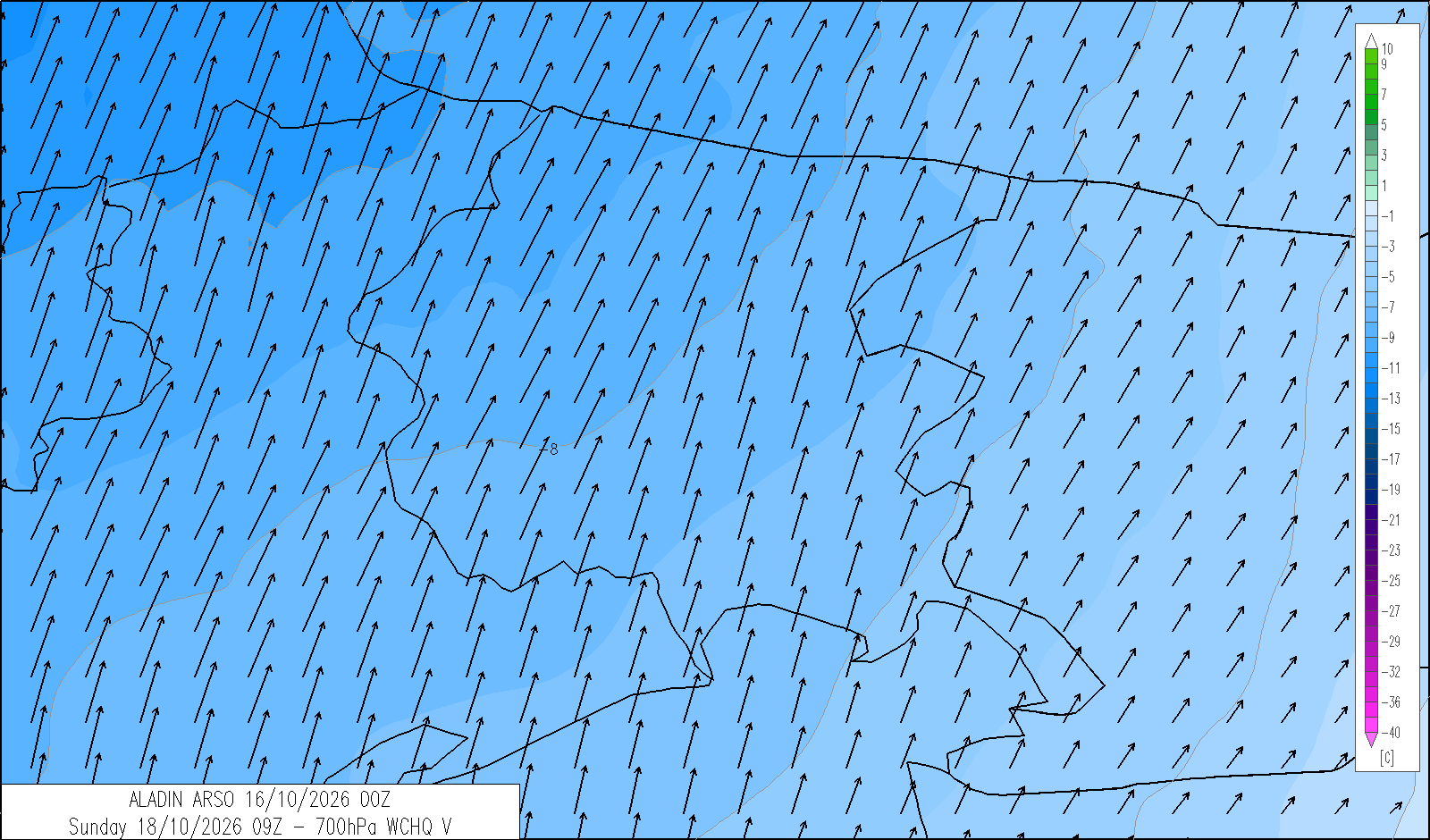
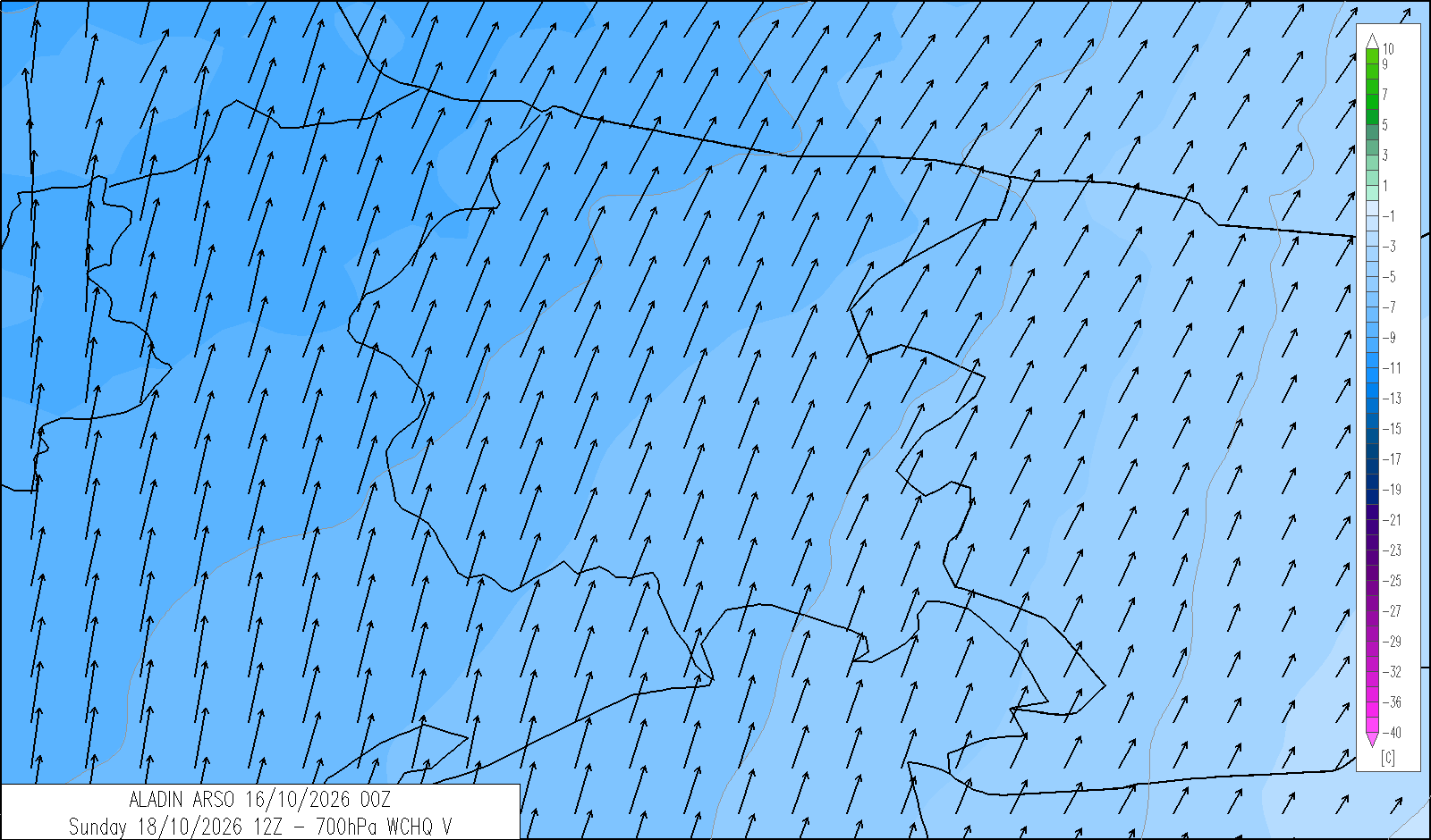
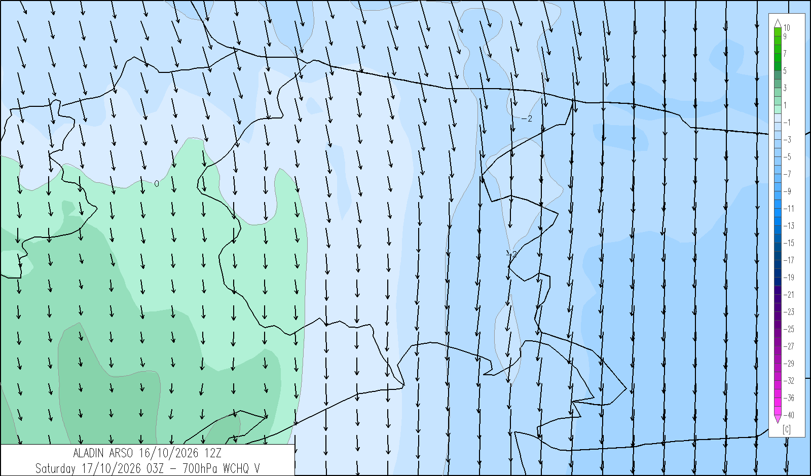
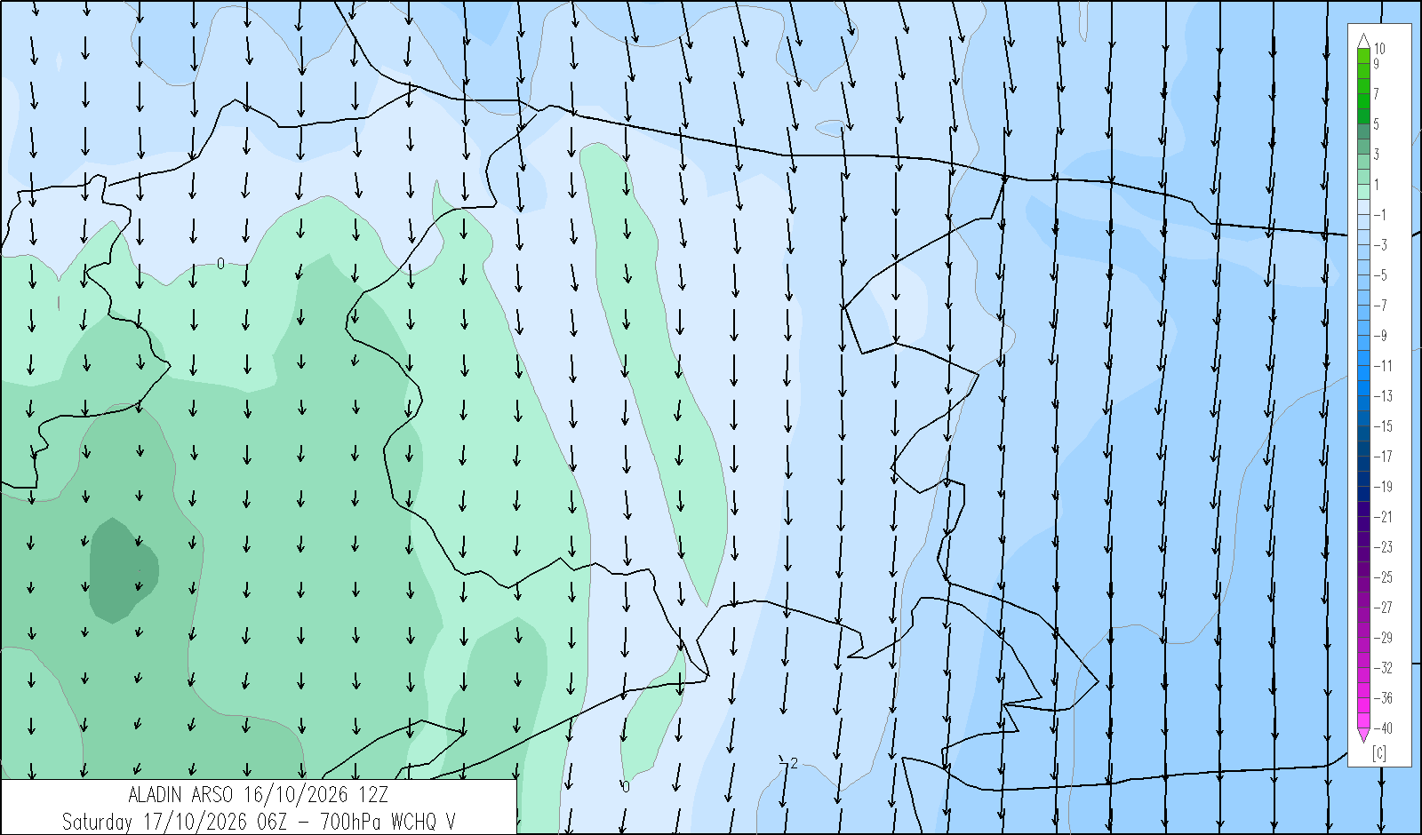
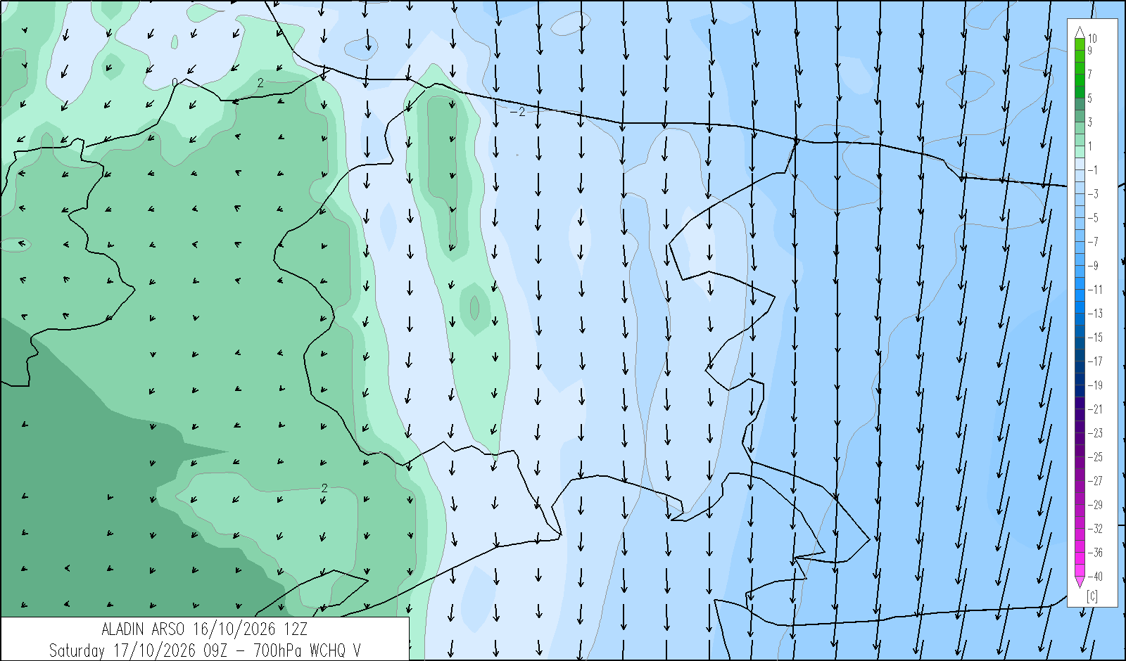
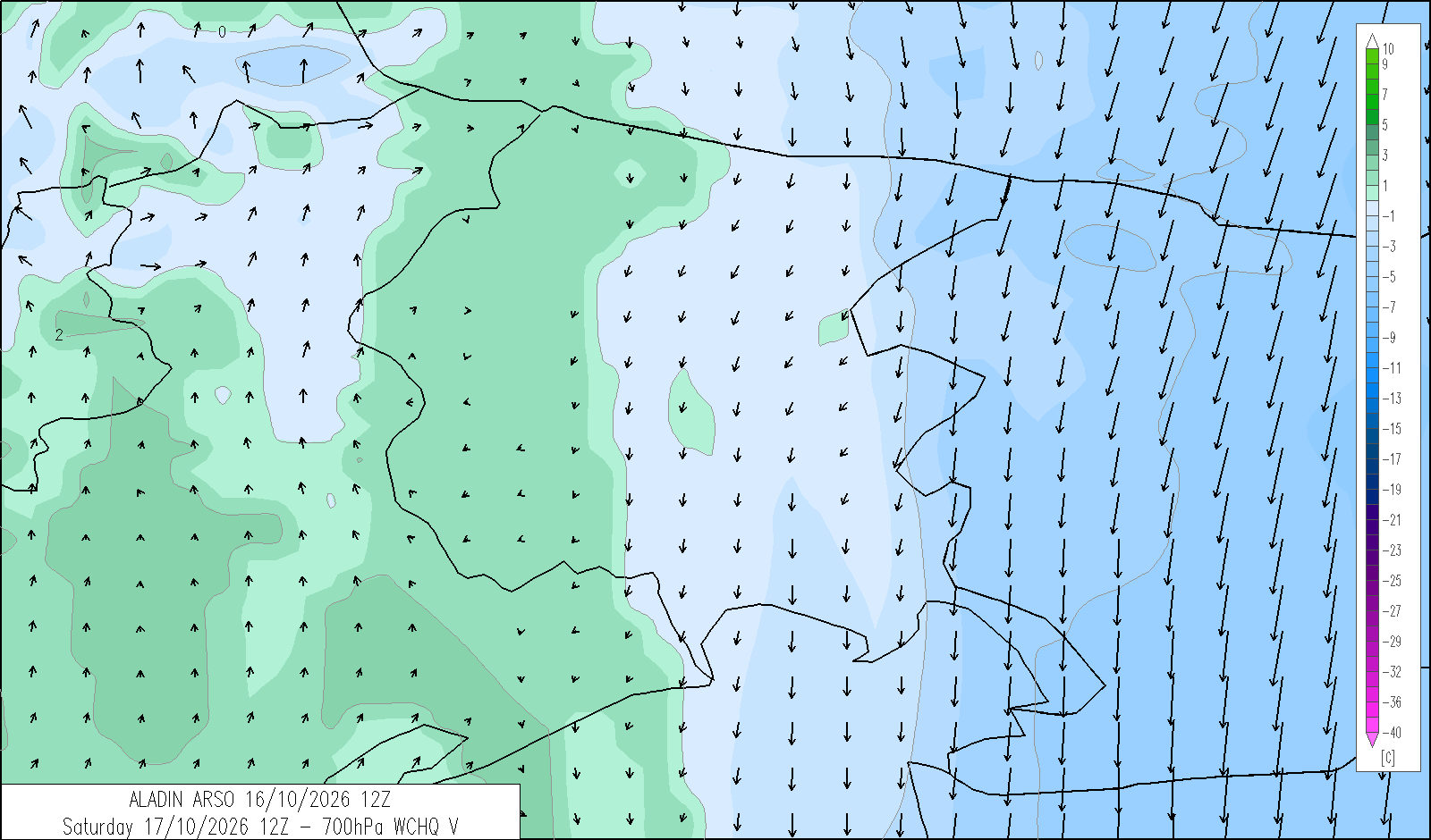
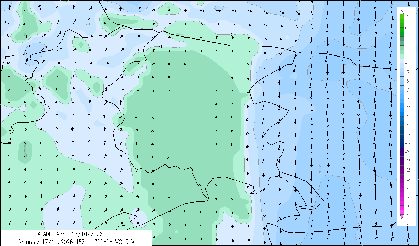
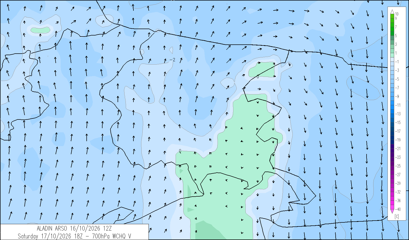
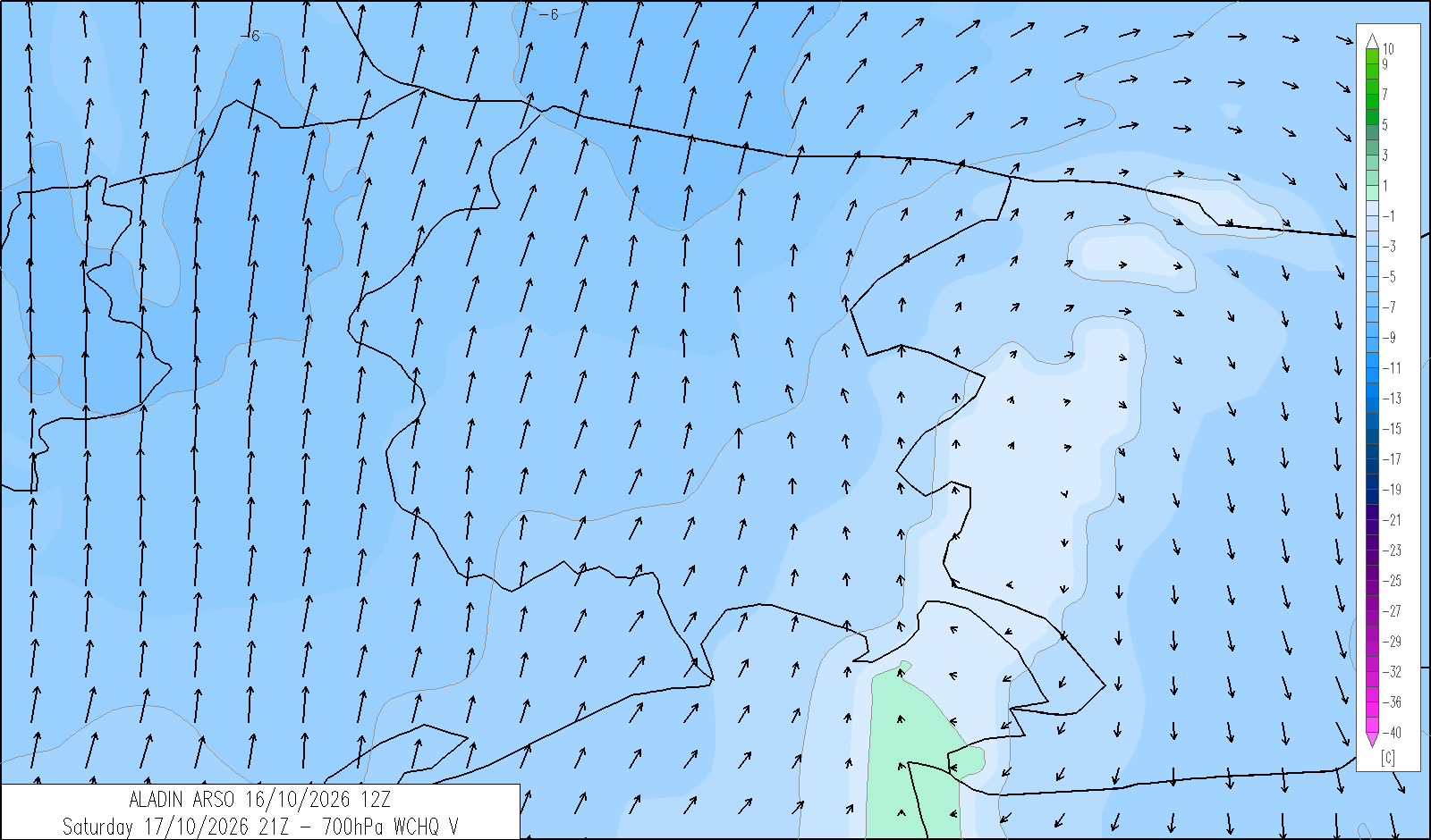
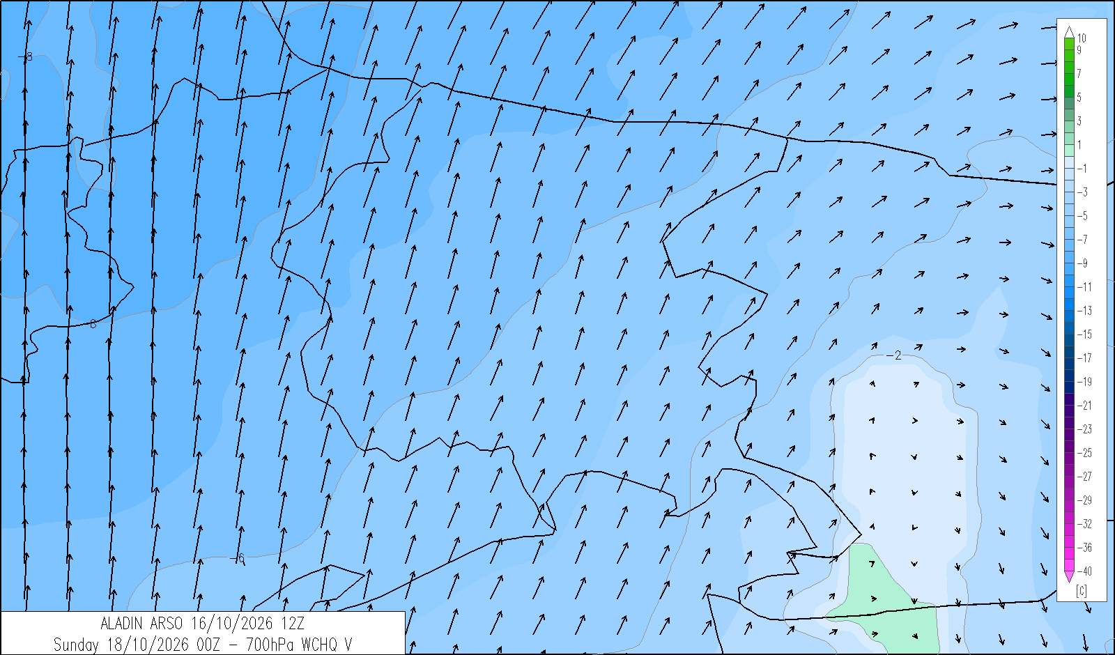

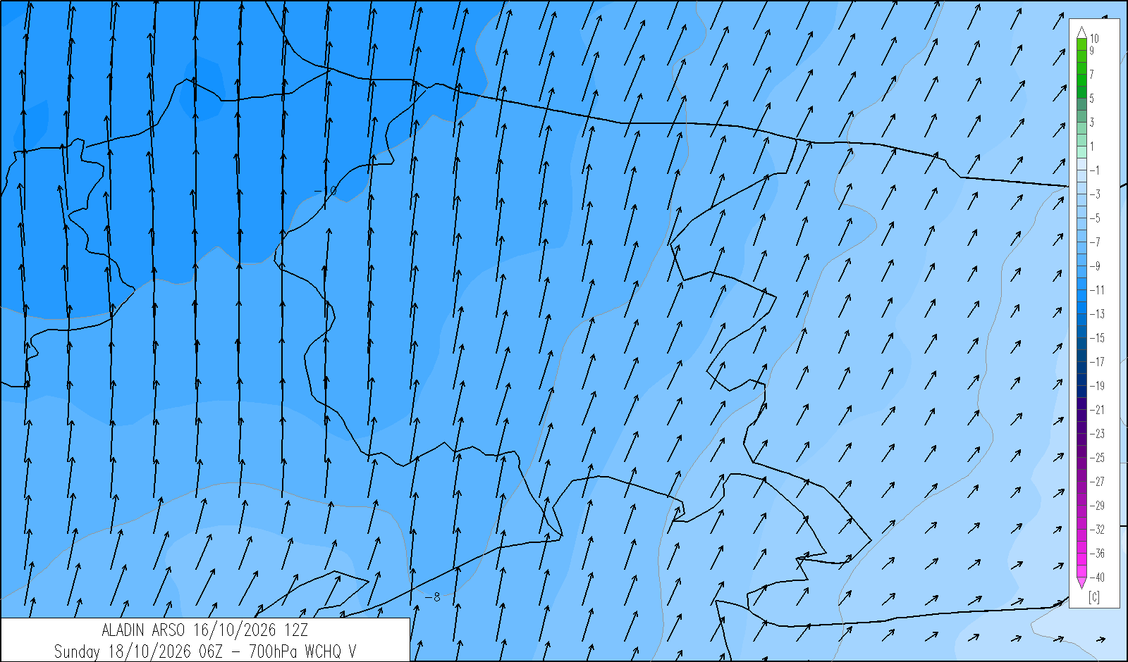
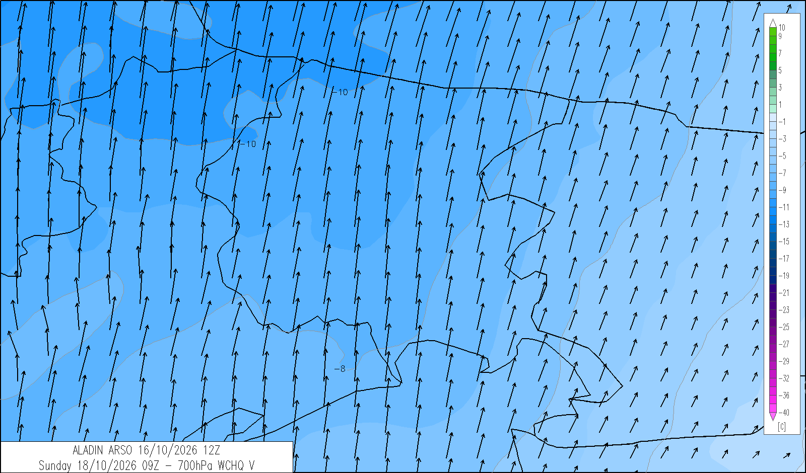
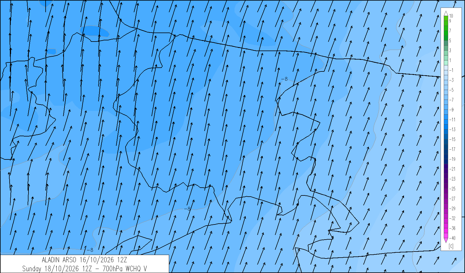
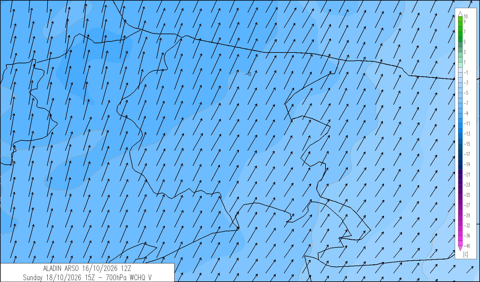
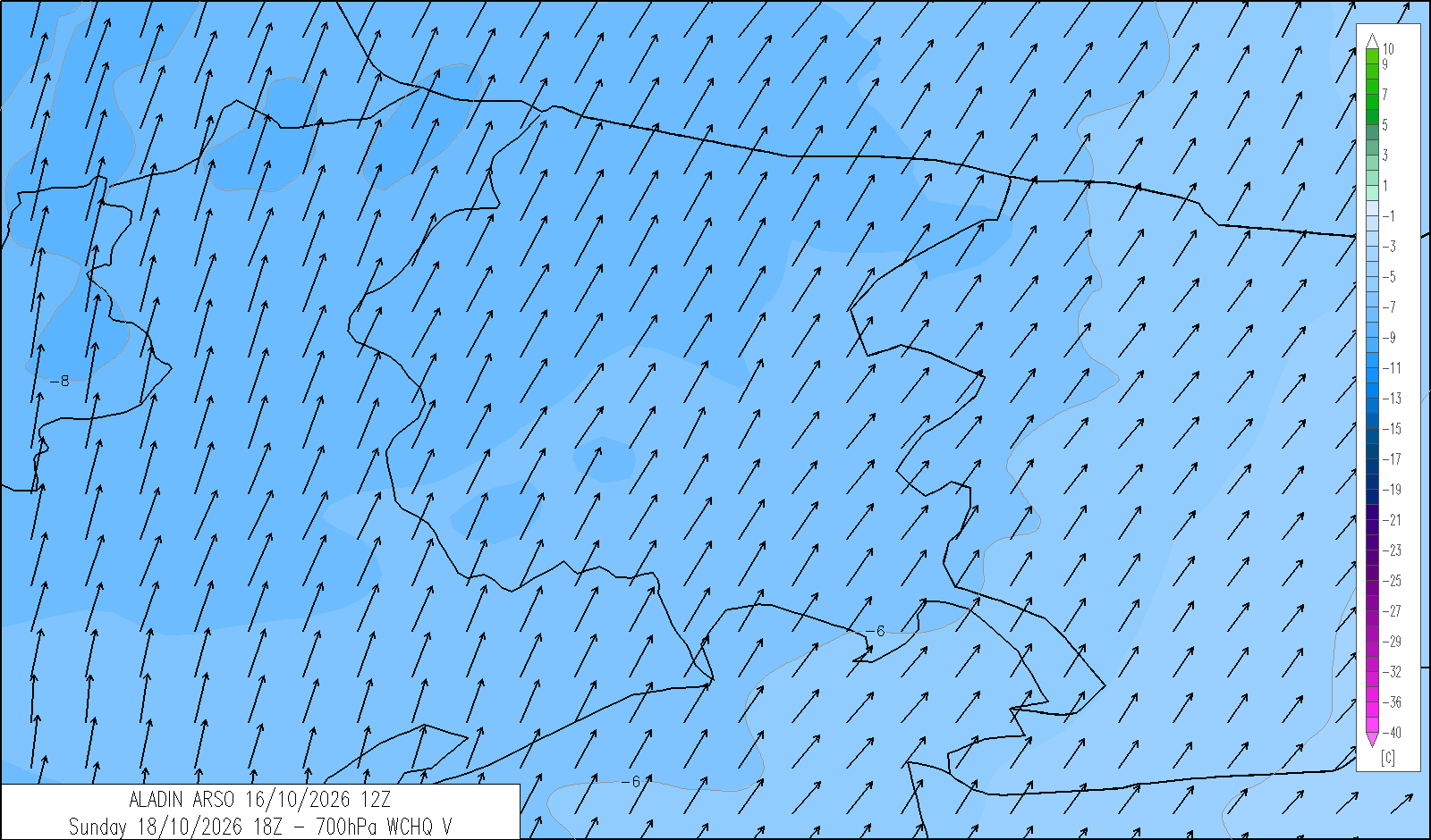
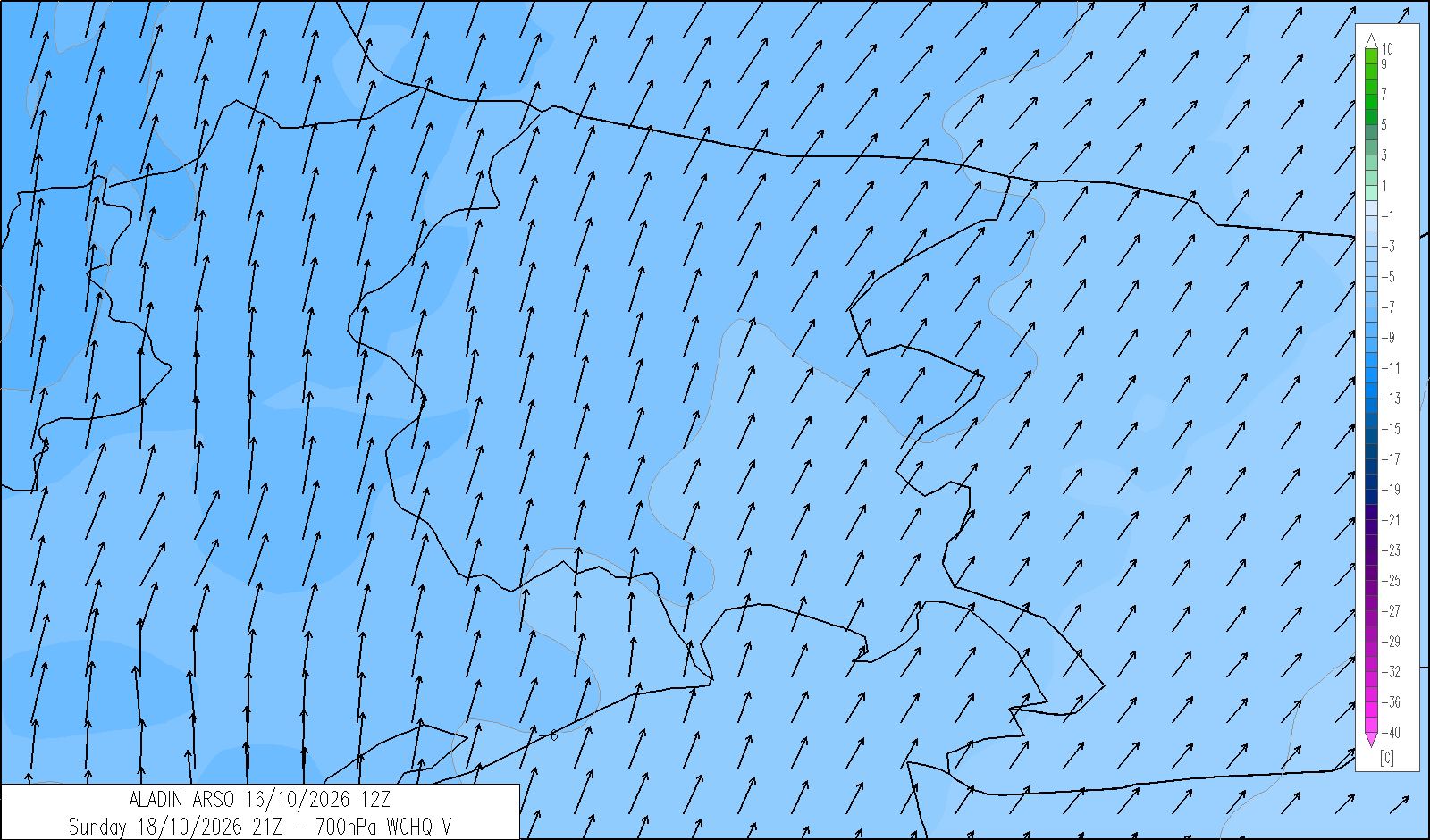
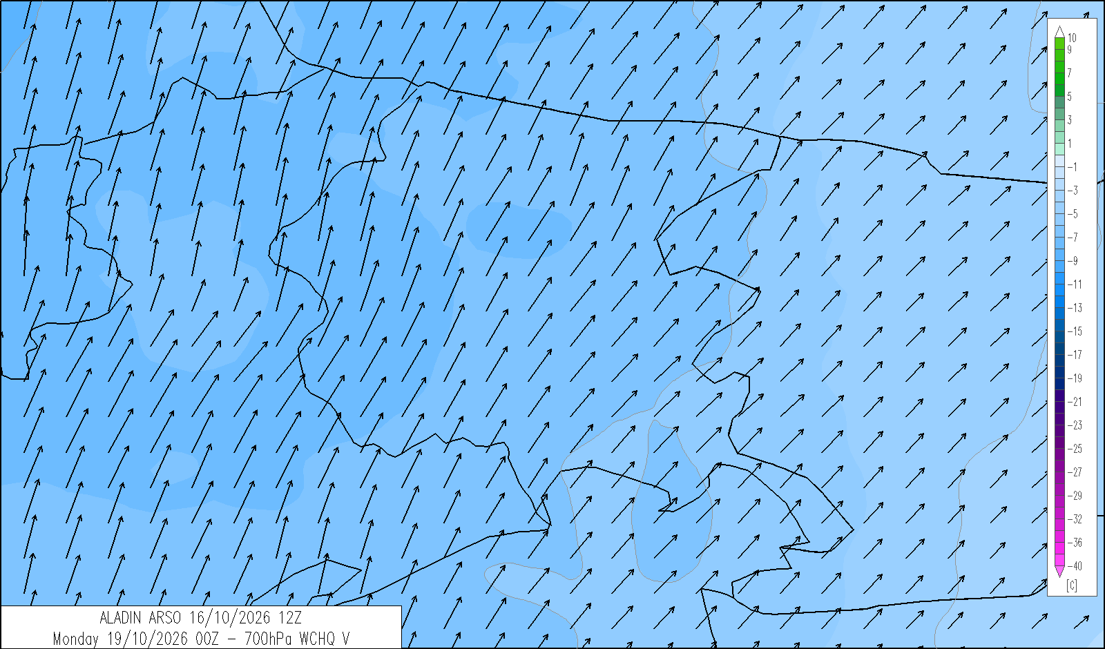
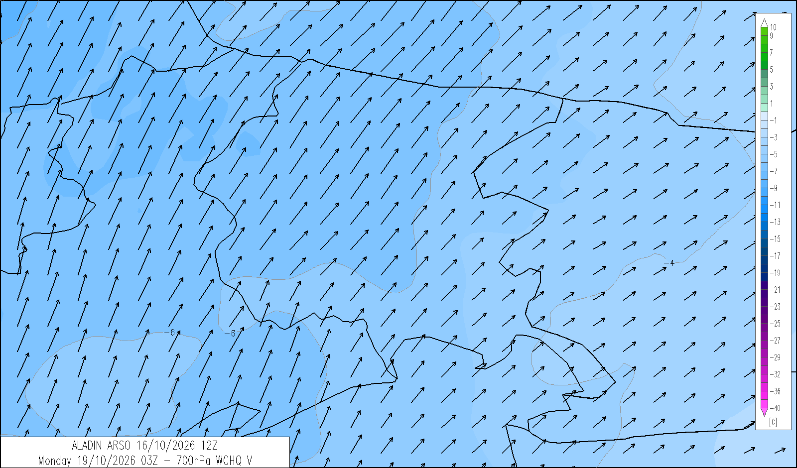
 monitor (omnia)
indice UV massimo
Monti, 16.10.2026
Indice UV - massimo giornaliero

OGGI
dalle 13
alle 14
4 
DOMANI
dalle 13
alle 14
3
DOPODOMANI
dalle 12
alle 14
3
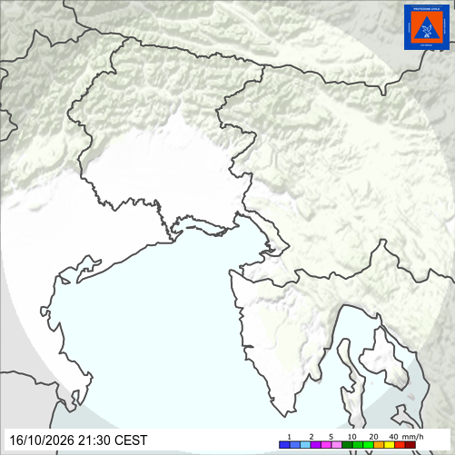
radar - real-time precipitation
satellite - infrared